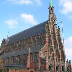
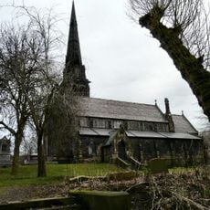
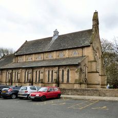
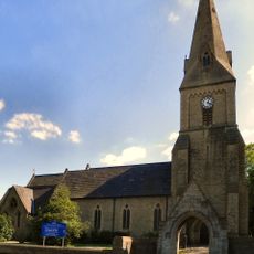
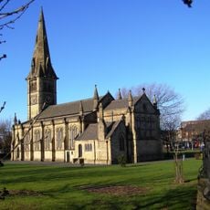
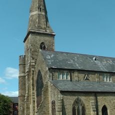
Fairfield Moravian Church, Grade II* listed Moravian church in Tameside, England.
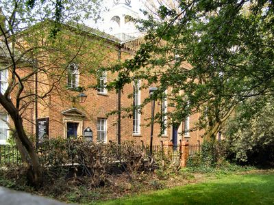
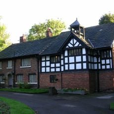
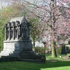
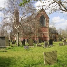
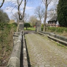
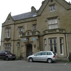
Fairfield Moravian Church is a Grade II* listed church building that stands as part of a complete Moravian settlement complex from the late 18th century. The site includes residential quarters, a cemetery with uniform gravestones, and other communal buildings from that era.
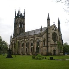
The church was established in 1785 after a member raised funds through mining interests to build the entire settlement. The project grew from the desire to create an independent community based on Moravian principles.
The settlement was organized around community life, with separate living areas for men and women that reflected Moravian traditions. This structure shaped daily life and social relationships within the congregation.
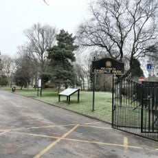
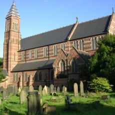
The site functions as an active place of worship and community use, allowing visitors to see the original buildings and structures. It is helpful to check local information or contact ahead to understand access and the best times to visit.
The settlement operated as a self-contained community for over two centuries, with its own bakery, hospital, and fire service. This independence allowed the community to maintain its way of life apart from the surrounding region.
Location: Tameside
GPS coordinates: 53.47520,-2.14974
Latest update: December 9, 2025 18:48
Academy Stadium
2.9 km
Gorton Monastery
2.6 km
Clayton Hall
2.2 km
Debdale Park
1.8 km
Brookfield Unitarian Church
2.1 km
Church of St Cross, Clayton
2.3 km
Peacock Mausoleum
2.1 km
St Peter's Church, Ashton-under-Lyne
3.1 km
Gorton Reservoirs
1.7 km
The Plough, Gorton
2.1 km
Church of St Mary
676 m
Christ Church
2.8 km
Roman Catholic Church of St Willibrords
2.2 km
Showcase Cinemas Manchester
2.6 km
Church of St Stephen
2.3 km
Clayton Hall
2.2 km
Church of St James
1.9 km
Manchester And Ashton Under Lyne Canal Bridge Number 16
277 m
Bridge Over Moat To Clayton Hall
2.2 km
Ryecroft Hall
1.3 km
Gorton and Abbey Hey War Memorial
1.3 km
Audenshaw War Memorial
2.9 km
Manchester And Ashton Under Lyne Canal Lock Number 18 (Fairfield Top Lock)
275 m
Sundial In Burial Ground South Of Church
48 m
Audenshaw transformer pillar
510 m
Milestone, Manchester Road; W of junction A6140
1.8 km
Ashton Canal Lock Number 9 Immediately East Of Clayton Lane Bridge
2.3 km
Milepost, Ashton New Road; Beswick
3.1 kmVisited this place? Tap the stars to rate it and share your experience / photos with the community! Try now! You can cancel it anytime.
Discover hidden gems everywhere you go!
From secret cafés to breathtaking viewpoints, skip the crowded tourist spots and find places that match your style. Our app makes it easy with voice search, smart filtering, route optimization, and insider tips from travelers worldwide. Download now for the complete mobile experience.
A unique approach to discovering new places❞
— Le Figaro
All the places worth exploring❞
— France Info
A tailor-made excursion in just a few clicks❞
— 20 Minutes