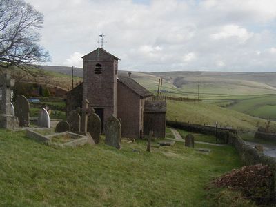
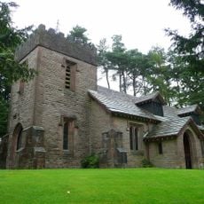
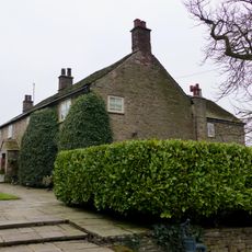
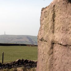
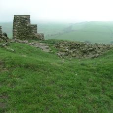
Forest Chapel, 17th-century Anglican church in Macclesfield Forest, England
Forest Chapel is a sandstone building with a Kerridge slate roof and a saddleback tower at its western end, displaying a straightforward design typical of its construction period. The structure remains a simple, functional place of worship with visible period features throughout.
The chapel was founded in 1673 as an outstation serving the parish of Prestbury for the distant forest communities. A major reconstruction in 1834 updated the building while keeping its fundamental form intact.
The chapel holds an annual rushbearing festival on the first Sunday following August 12, keeping alive a custom that has roots in earlier centuries.
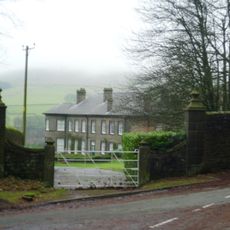
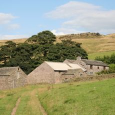
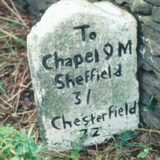
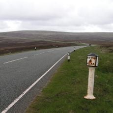
The chapel sits in a remote location reached only by narrow country roads through the Peak District, so planning your route ahead is essential. Visitors should prepare for rural driving conditions and allow extra time for the journey.
Inside the chapel hangs a board recording Edmund Brough's 1796 gift of 100 pounds for poor parish members, distributed annually on Candlemas Day. This record shows how charitable giving shaped local welfare long ago.
Location: Macclesfield Forest and Wildboarclough
Inception: 1834
Website: http://achurchnearyou.com/forest-st-stephen
GPS coordinates: 53.24630,-2.03990
Latest update: December 14, 2025 11:24
Shutlingsloe
2.6 km
Lamaload Reservoir
2.9 km
Trentabank Reservoir
1.4 km
Crag Hall
3.6 km
Langley Hall, Cheshire
3.6 km
St Saviour's Church, Wildboarclough
3.5 km
The Old Post Office
3.5 km
Saltersford Hall And Attached Farm Buildings
4.2 km
K6 Telephone Kiosk Outside The Old Post Office
3.5 km
Milestone At Sj 9456 7522
4.2 km
Outbuildings at Ridge Hall Farm
3.8 km
Ridge Hall Farmhouse, Ridge Hill
3.8 km
Danebower Colliery ventilation chimney, 750m north east of Holt
4.2 km
Milepost at SJ 9991 7211
2.5 km
Fern Lee Farmhouse
3.4 km
Milepost At Sj 9429 7383
3.6 km
Pott Lords Farmhouse
3.5 km
Milestone 140 metres north of milepost at SJ 9991 7211
2.5 km
Milepost at SJ 9681 7353
1.5 km
Wayside cross 500m north of Sutton End Farm
3.4 km
Milepost At Sj 9540 7398
2.7 km
Milepost at SJ 9818 7347
1.5 km
Milepost 4 Miles From Buxton, 7 3/4 From Macclesfield
3.8 km
Yearn's Low bowl barrow
4 km
Milestone at SJ 9609 7365
2 km
Milepost, S of Sparbent
4 km
Milestone, London Road; Teggs Nose Country Park, SW of Visitors Centre
2.7 km
Milepost, Danebower Hollow
4.1 kmVisited this place? Tap the stars to rate it and share your experience / photos with the community! Try now! You can cancel it anytime.
Discover hidden gems everywhere you go!
From secret cafés to breathtaking viewpoints, skip the crowded tourist spots and find places that match your style. Our app makes it easy with voice search, smart filtering, route optimization, and insider tips from travelers worldwide. Download now for the complete mobile experience.
A unique approach to discovering new places❞
— Le Figaro
All the places worth exploring❞
— France Info
A tailor-made excursion in just a few clicks❞
— 20 Minutes