Shutlingsloe

Log in to your account

AroundUs is a community-driven map of interesting places, built by curious explorers like you. It grows with every review, story, and photo you share.
Connect to save your favorite spots, contribute locations, and create personalized routes.
By continuing, you accept our Terms and Conditions and our Privacy Policy
Add to collection
Map
Suggest a change
Share

Shutlingsloe, Mountain summit in Macclesfield Forest, England

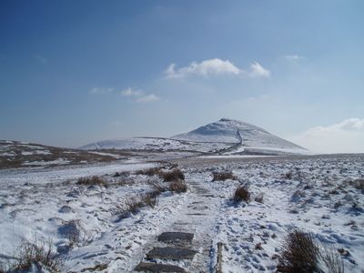
Shutlingsloe is a 506-meter mountain in the Peak District that stands out for its distinctive cone shape in the surrounding landscape. The summit has steep slopes and exposed rock at the top, creating the dramatic outline that makes it recognizable from many directions.

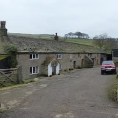
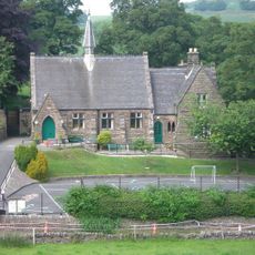
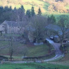
Archaeological evidence shows the area around this peak was inhabited in prehistoric times, when early settlers valued its elevated position. Over thousands of years, the location remained significant to communities who lived and worked in these hills.

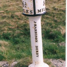
The name Shutlingsloe likely derives from old local language referring to a slender or steep hill, reflecting how people have long described its distinctive shape. Walkers today notice how the summit serves as a landmark that locals and visitors use to navigate and understand the surrounding terrain.

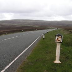
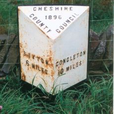
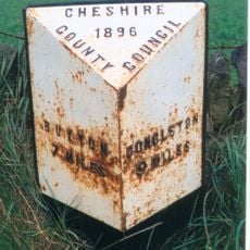
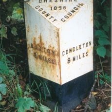
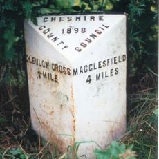
Several marked trails reach the summit from the Macclesfield Forest car park, with the main route taking about two to three hours to walk. Weather conditions can change quickly at elevation, so wear suitable clothing and bring sturdy walking shoes.

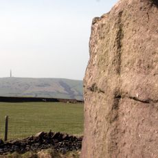
On clear days, visitors can see both the Cheshire Plain stretching to the west and the Peak District mountains to the east from this summit. This uncommon vantage point shows how this location sits between two very different landscapes.

Location: Macclesfield Forest and Wildboarclough

Elevation above the sea: 506 m

GPS coordinates: 53.22322,-2.03681

Latest update: December 10, 2025 16:03

Photos
Around this place
Forest Chapel
United Kingdom

Forest Chapel

2.6 km
Trentabank Reservoir
United Kingdom

Trentabank Reservoir

2.2 km
Crag Hall
United Kingdom

Crag Hall

1.4 km
St Saviour's Church, Wildboarclough
United Kingdom

St Saviour's Church, Wildboarclough

1.1 km
Eagle And Child
United Kingdom

Eagle And Child

3.5 km
The Old Post Office
United Kingdom

The Old Post Office

1.1 km
Three Shire Heads Bridge
United Kingdom

Three Shire Heads Bridge

3.4 km
K6 Telephone Kiosk Outside The Old Post Office
United Kingdom

K6 Telephone Kiosk Outside The Old Post Office

1.1 km
Milepost at SJ 9991 7211
United Kingdom

Milepost at SJ 9991 7211

3.4 km
Ridge Hall Farmhouse, Ridge Hill
United Kingdom

Ridge Hall Farmhouse, Ridge Hill

3.7 km
Outbuildings at Ridge Hall Farm
United Kingdom

Outbuildings at Ridge Hall Farm

3.8 km
Boundary Stone At Junction Of Wincle And Sutton Civil Parishes Ngr 9542 6786
United Kingdom

Boundary Stone At Junction Of Wincle And Sutton Civil Parishes Ngr 9542 6786

2.8 km
Fern Lee Farmhouse
United Kingdom

Fern Lee Farmhouse

2.8 km
Danebower Colliery ventilation chimney, 750m north east of Holt
United Kingdom

Danebower Colliery ventilation chimney, 750m north east of Holt

3.3 km
Pott Lords Farmhouse
United Kingdom

Pott Lords Farmhouse

2.5 km
Milestone 140 metres north of milepost at SJ 9991 7211
United Kingdom

Milestone 140 metres north of milepost at SJ 9991 7211

3.5 km
Wincle Church Of England Aided Primary School And Attached Schoolmaster's House
United Kingdom

Wincle Church Of England Aided Primary School And Attached Schoolmaster's House

3.9 km
Milepost 4 Miles From Buxton, 7 3/4 From Macclesfield
United Kingdom

Milepost 4 Miles From Buxton, 7 3/4 From Macclesfield

3.9 km
Foxbank
United Kingdom

Foxbank

3.9 km
Wayside cross 500m north of Sutton End Farm
United Kingdom

Wayside cross 500m north of Sutton End Farm

2.1 km
Milepost, E of Berry Bank Farm access road
United Kingdom

Milepost, E of Berry Bank Farm access road

2 km
Milepost, W of Blaze Farm access road
United Kingdom

Milepost, W of Blaze Farm access road

2.2 km
Milepost, Hammerton Moss
United Kingdom

Milepost, Hammerton Moss

3 km
Milepost, S of Hollinset Farm
United Kingdom

Milepost, S of Hollinset Farm

3.1 km
Milepost, S of Sparbent
United Kingdom

Milepost, S of Sparbent

2.4 km
Milepost, Cluelow Cross
United Kingdom

Milepost, Cluelow Cross

3.5 km
Milepost, S of Lowerhouse
United Kingdom

Milepost, S of Lowerhouse

3.7 km
Milepost, Danebower Hollow
United Kingdom

Milepost, Danebower Hollow

3.5 km
Show the full map
Reviews

Visited this place? Tap the stars to rate it and share your experience / photos with the community! Try now! You can cancel it anytime.

« Shutlingsloe - Mountain summit in Macclesfield Forest, England » is provided by Around Us (aroundus.com). Images and texts are derived from Wikimedia project under a Creative Commons license. You are allowed to copy, distribute, and modify copies of this page, under the conditions set by the license, as long as this note is clearly visible.

Discover hidden gems everywhere you go!

From secret cafés to breathtaking viewpoints, skip the crowded tourist spots and find places that match your style. Our app makes it easy with voice search, smart filtering, route optimization, and insider tips from travelers worldwide. Download now for the complete mobile experience.

Around Us App Screenshot

A unique approach to discovering new places

Le Figaro

All the places worth exploring

France Info

A tailor-made excursion in just a few clicks

20 Minutes