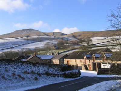
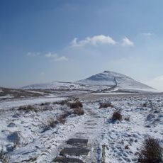
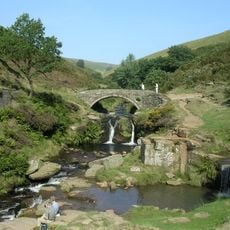
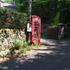
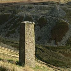
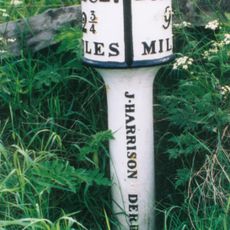
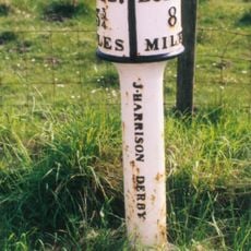
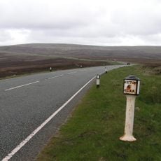
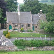
Macclesfield Forest and Wildboarclough, civil parish in Cheshire East, England
Location: Cheshire East
Shares border with: Rainow, Wincle, Sutton, Macclesfield, Hartington Upper Quarter, Quarnford, Leekfrith
GPS coordinates: 53.23330,-2.03333
Latest update: March 9, 2025 11:41
Shutlingsloe
1.1 km
Errwood Hall
5.1 km
Errwood Reservoir
6 km
Lamaload Reservoir
4.4 km
Forest Chapel
1.5 km
Trentabank Reservoir
1.7 km
Crag Hall
2.1 km
St Michael's Church, Wincle
5 km
St Saviour's Church, Wildboarclough
2 km
Eagle And Child
4.5 km
The Old Post Office
2 km
Three Shire Heads Bridge
3.7 km
K6 Telephone Kiosk Outside The Old Post Office
2 km
Danebower Colliery ventilation chimney, 750m north east of Holt
3.2 km
Boundary Stone At Junction Of Wincle And Sutton Civil Parishes Ngr 9542 6786
3.7 km
Milepost at SJ 9991 7211
2.5 km
Pott Lords Farmhouse
3 km
Milestone 140 metres north of milepost at SJ 9991 7211
2.6 km
Wayside cross 500m north of Sutton End Farm
2.7 km
Milepost At Sj 9540 7398
4.1 km
Milepost at SJ 9681 7353
3 km
Milepost 4 Miles From Buxton, 7 3/4 From Macclesfield
3.3 km
Wincle Church Of England Aided Primary School And Attached Schoolmaster's House
5 km
Milepost at SJ 9818 7347
2.8 km
Milestone at SJ 9609 7365
3.5 km
Milepost, E of Berry Bank Farm access road
2.8 km
Milepost, W of Blaze Farm access road
3.3 km
Milepost, Hammerton Moss
4.1 kmReviews
Visited this place? Tap the stars to rate it and share your experience / photos with the community! Try now! You can cancel it anytime.
Discover hidden gems everywhere you go!
From secret cafés to breathtaking viewpoints, skip the crowded tourist spots and find places that match your style. Our app makes it easy with voice search, smart filtering, route optimization, and insider tips from travelers worldwide. Download now for the complete mobile experience.
A unique approach to discovering new places❞
— Le Figaro
All the places worth exploring❞
— France Info
A tailor-made excursion in just a few clicks❞
— 20 Minutes