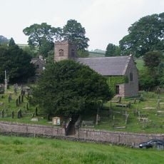
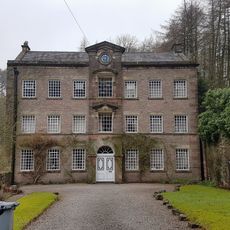
Crag Hall, English country house in Macclesfield Forest and Wildboarclough, England.
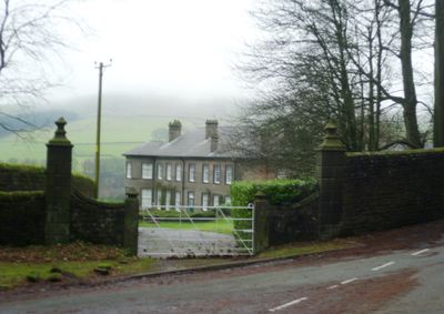
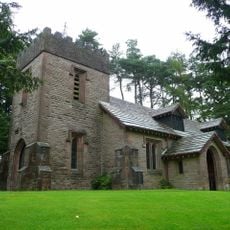
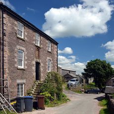
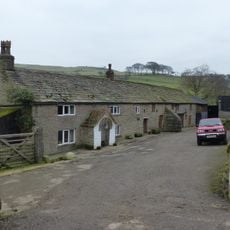
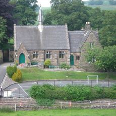
Crag Hall is an English country house located near Macclesfield Forest within the Peak District National Park, featuring traditional architectural elements. The building accommodates around twenty guests along with separate staff quarters.
The Stanley family has maintained continuous ownership of the surrounding Knowsley Estate since 1385, managing approximately 2,500 acres across centuries. This long stewardship continues to shape how the land and property are cared for today.
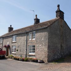
The house functions as a private retreat that reflects traditions of English country living in the region. Visitors can observe how the spaces connect to the surrounding landscape and rural heritage.
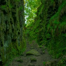
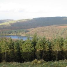
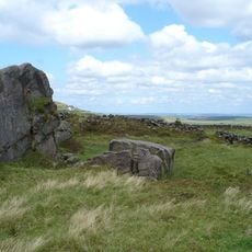
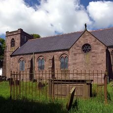
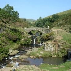
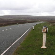
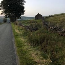
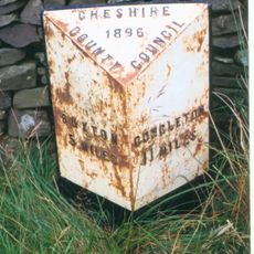
The property sits in an area with excellent outdoor activity options including off-road cycling and swimming, with Three Shires Head nearby. The location offers easy access to various walking routes and natural attractions throughout the surrounding region.
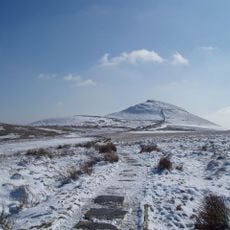
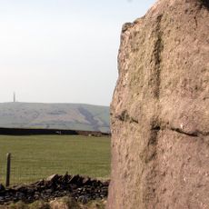
From Crag Hall, visitors can see Shuttlingslow, a distinctive peak that local people know as the Matterhorn of Cheshire because of its shape. This striking summit serves many as a visual landmark when orienting themselves in the area.
Location: Macclesfield Forest and Wildboarclough
GPS coordinates: 53.21630,-2.01960
Latest update: December 14, 2025 14:26
Lud's Church
3.2 km
Shutlingsloe
1.4 km
Forest Chapel
3.6 km
Trentabank Reservoir
3.6 km
St Michael's Church, Wincle
4 km
Oliver Hill
4.1 km
St Saviour's Church, Wildboarclough
334 m
Church of St Paul
4.1 km
Weslyan Chapel
4 km
Eagle And Child
2.5 km
The Old Post Office
435 m
Three Shire Heads Bridge
2.2 km
K6 Telephone Kiosk Outside The Old Post Office
435 m
Milepost at SJ 9991 7211
3.5 km
Fern Lee Farmhouse
4.1 km
Danebower Colliery ventilation chimney, 750m north east of Holt
2.4 km
Boundary Stone At Junction Of Wincle And Sutton Civil Parishes Ngr 9542 6786
3.5 km
Milestone 140 metres north of milepost at SJ 9991 7211
3.6 km
Pott Lords Farmhouse
3.7 km
Wayside cross 500m north of Sutton End Farm
3.2 km
Wincle Church Of England Aided Primary School And Attached Schoolmaster's House
4 km
Milepost, E of Berry Bank Farm access road
760 m
Milepost, W of Blaze Farm access road
2 km
Milepost 4 Miles From Buxton, 7 3/4 From Macclesfield
3.3 km
Sniddles (Map Ref. 007-657)
3.6 km
Milepost, Hammerton Moss
3.2 km
Milepost, S of Hollinset Farm
4 km
Milepost, S of Sparbent
1.2 kmVisited this place? Tap the stars to rate it and share your experience / photos with the community! Try now! You can cancel it anytime.
Discover hidden gems everywhere you go!
From secret cafés to breathtaking viewpoints, skip the crowded tourist spots and find places that match your style. Our app makes it easy with voice search, smart filtering, route optimization, and insider tips from travelers worldwide. Download now for the complete mobile experience.
A unique approach to discovering new places❞
— Le Figaro
All the places worth exploring❞
— France Info
A tailor-made excursion in just a few clicks❞
— 20 Minutes