Freshwater Redoubt, Military fort in Freshwater Bay, Isle of Wight, England.
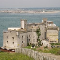
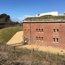
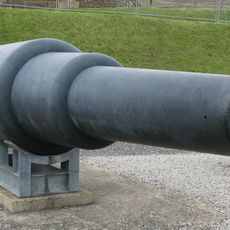
Freshwater Redoubt is a coastal military fort in Freshwater Bay on the Isle of Wight equipped with seven gun emplacements arranged across two battery positions. A dry defensive ditch surrounds the fort, with a casemate structure that provided shelter and accommodation for the garrison.
Built between 1855 and 1856 under Lord Palmerston's defense initiative, the fort was designed to protect the southern coast from potential French naval threats. It was one of many fortifications constructed during a period of heightened tensions in Europe.
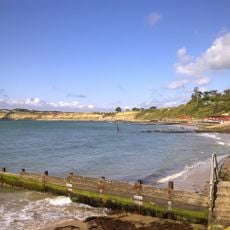
The name reflects the fort's connection to Freshwater Bay and its role as a coastal defense point, which visitors can still understand through the remaining structures. The layout shows how this installation fit into Victorian-era military thinking and connected to the broader defense strategy of the island.
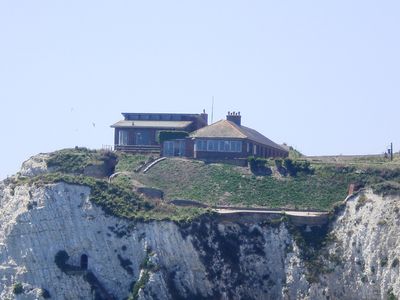
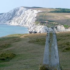
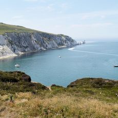
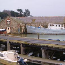
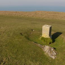
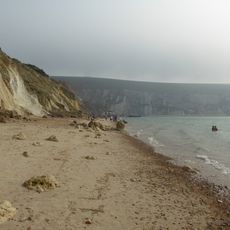
The fort sits on elevated ground with views toward the bay and can be reached via pathways around the property. Visitors should be aware that parts of the site are private, so access may be limited depending on current ownership policies.
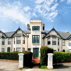
The fort's original water tank has been converted into a swimming pool, showing how military heritage can be creatively adapted for modern living. This transformation blends the structure's military past with contemporary residential comfort in an unexpected way.
The community of curious travelers
AroundUs brings together thousands of curated places, local tips, and hidden gems, enriched daily by 60,000 contributors worldwide.