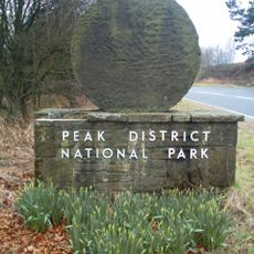
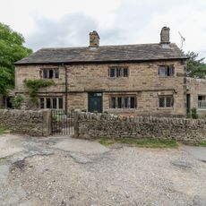
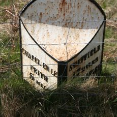
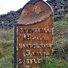
High Peak Estate, National Trust estate in Derbyshire, United Kingdom.
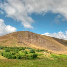
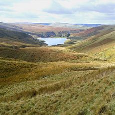
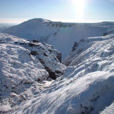
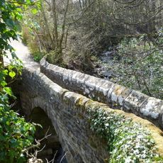
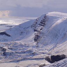
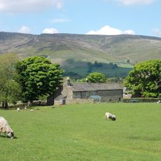
High Peak Estate is a National Trust property in the Dark Peak area of Derbyshire, covering open moorland made up of heather, peat bogs, and exposed gritstone edges. The terrain rises to a broad plateau where the ground is wet and the rock formations stand out clearly against the sky.
The land remained in private hands for centuries, and ordinary people had no right to walk across it. A mass protest in 1932, known as the Kinder Scout trespass, pushed for open access and eventually helped shape the laws that allow walkers on moorland today.
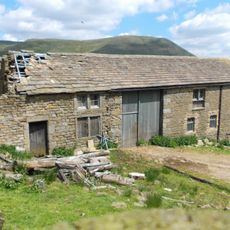
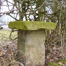
Grouse shooting is still practiced across parts of the moorland, and visitors sometimes encounter the low stone butts built as shooting screens. These structures, blending into the hillside, are a reminder of how the land has been managed for sport alongside farming for a long time.
The paths across the moorland can be muddy and uneven, so sturdy boots are important whatever the season. The plateau is fully exposed, and weather here can shift fast, so carrying a waterproof layer is a good habit even on clear days.
Below the surface of the moorland lies one of the largest areas of blanket bog in England, built up over thousands of years of accumulated peat. In some spots, this peat layer reaches several yards (meters) deep, and the dark, spongy ground underfoot is a direct sign of how old and fragile the landscape really is.
The community of curious travelers
AroundUs brings together thousands of curated places, local tips, and hidden gems, enriched daily by 60,000 contributors worldwide.