Chest opened
+${chestReward.xp} XP
Explorer
NOUVEAU ×${chestReward.collectible.quantity}
tapez pour fermer
Chest locked

Open chests in the app

Around Us is built for your phone — chests unlock when you walk, explore and capture nearby places.

Enable Location

We need your location to show you interesting places around you

Discover nearby places

Find interesting locations and hidden gems around you

Precise directions

Get accurate directions and distances to places

Your location is never shared with other users. It's only used when you tap the location button.

Log in to your account

Start exploring — it's free

Trusted by 72,882 travelers worldwide

Continue with Google
Continue with Apple
or

We will send you a code to connect

By continuing, you accept our Terms and Conditions and our Privacy Policy

Check your inbox

We've sent a pincode in your inbox. Please enter the code below.

Howgill Fells
Discussion Reviews Photo
9.3k Popularity

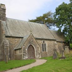
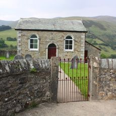
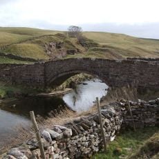
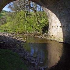
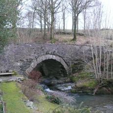
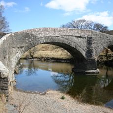
Howgill Fells, Upland range in Cumbria, England

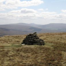
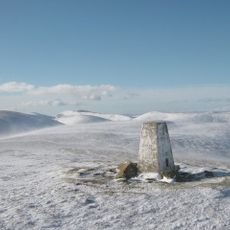
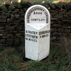
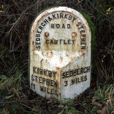
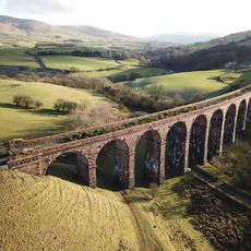
Howgill Fells is an upland range in Cumbria, sitting between the towns of Sedbergh, Kirkby Stephen, and Tebay, with gently rounded summits and open, grassy slopes. The highest point, The Calf, stands at 676 meters, and the open terrain allows wide views across the surrounding countryside.

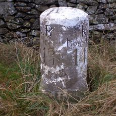
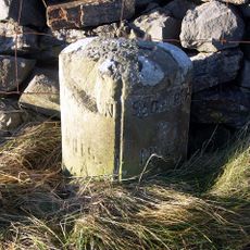
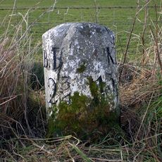
The name comes from Norse settlers who combined 'haugr', meaning hill, with 'gil', meaning narrow valley, which points to medieval Nordic settlement in northern England. That naming has stayed in place ever since and still reflects how the landscape was first read by those early communities.

Sheep farmers have worked these open slopes for generations, and the effects of that work are easy to spot in the worn paths and grazing patterns across the hills. Walking through the area gives a direct sense of how farming life has shaped this landscape over time.

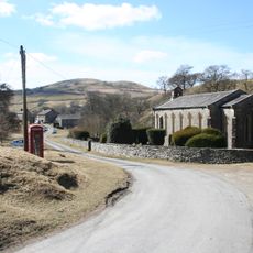
Sedbergh is the most convenient base for exploring the hills, with parking available and trail starts clearly marked from the town. The open slopes can change quickly in bad weather, so sturdy footwear and layers are a good idea before heading out.

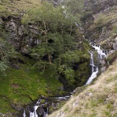
Cautley Spout, on the southern side, is one of England's tallest waterfalls, dropping around 180 meters down the hillside and visible from far across the moorland. Despite being easy to spot from a distance, many visitors pass through the area without ever walking over to see it up close.

The community of curious travelers

AroundUs brings together thousands of curated places, local tips, and hidden gems, enriched daily by 60,000 contributors worldwide.

Start exploring
Location
GPS coordinates
54.40000,-2.50000
Latest update
March 3, 2026 10:13
Around this place
Cautley Spout
United Kingdom

Cautley Spout

3.1 km
Yarlside
United Kingdom

Yarlside

2.3 km
St Oswald's Church, Ravenstonedale
United Kingdom

St Oswald's Church, Ravenstonedale

5.9 km
Holy Trinity Church, Howgill
United Kingdom

Holy Trinity Church, Howgill

7 km
Ravenstonedale Priory
United Kingdom

Ravenstonedale Priory

5.9 km
Green Bell
United Kingdom

Green Bell

2.3 km
Church of St James
United Kingdom

Church of St James

7.1 km
Milestone 150 Yards North East Of Methodist Chapel (Ngr 724 995)
United Kingdom

Milestone 150 Yards North East Of Methodist Chapel (Ngr 724 995)

4.9 km
Church of St Mark
United Kingdom

Church of St Mark

6.2 km
Wesleyan Methodist Church
United Kingdom

Wesleyan Methodist Church

6.6 km
Smardale Bridge
United Kingdom

Smardale Bridge

6.9 km
Rawthey Bridge
United Kingdom

Rawthey Bridge

4.6 km
Banty Gill Bridge
United Kingdom

Banty Gill Bridge

7 km
Cross shaft base and sundial 10 yards to south of church
United Kingdom

Cross shaft base and sundial 10 yards to south of church

5.8 km
Howgill War Memorial
United Kingdom

Howgill War Memorial

7 km
Crook of Lune Bridge
United Kingdom

Crook of Lune Bridge

7.1 km
Milestone Approximately 40M From A685
United Kingdom

Milestone Approximately 40M From A685

6.5 km
K6 telephone kiosk approximately 20 metres south east of Holy Trinity churchyard
United Kingdom

K6 telephone kiosk approximately 20 metres south east of Holy Trinity churchyard

7 km
Milestone (Sedbergh 5) At Ngr 7045 9731 On A683
United Kingdom

Milestone (Sedbergh 5) At Ngr 7045 9731 On A683

4.3 km
Milestone Circa 250 Yards To West Of Brig Cottage (At Ngr 716 981)
United Kingdom

Milestone Circa 250 Yards To West Of Brig Cottage (At Ngr 716 981)

4.7 km
Milestone (Sedbergh 4) By High Wardses
United Kingdom

Milestone (Sedbergh 4) By High Wardses

5 km
Milestone (Sedbergh 3) To East Of Steps End
United Kingdom

Milestone (Sedbergh 3) To East Of Steps End

6 km
Gaisgill packhorse bridge
United Kingdom

Gaisgill packhorse bridge

7.1 km
Milestone On East Side Of Lane Approximately 30 Metres South Of Fairmile Beck
United Kingdom

Milestone On East Side Of Lane Approximately 30 Metres South Of Fairmile Beck

5.5 km
Milestone 850 Yards To North East Of Studfold (At Ngr 734 007)
United Kingdom

Milestone 850 Yards To North East Of Studfold (At Ngr 734 007)

5.8 km
Milestone At Sd 616 974
United Kingdom

Milestone At Sd 616 974

6.8 km
Lowgill Viaduct
United Kingdom

Lowgill Viaduct

7.3 km
Milestone, ExYW ½ mile S of bridge over R Rawthey
United Kingdom

Milestone, ExYW ½ mile S of bridge over R Rawthey

4.3 km
Show the full map
Reviews
Share your experience

No review yet

Discussions
Start a discussion...

No discussion yet

« Howgill Fells - Upland range in Cumbria, England » is provided by Around Us (aroundus.com). Images and texts are derived from Wikimedia project under a Creative Commons license. You are allowed to copy, distribute, and modify copies of this page, under the conditions set by the license, as long as this note is clearly visible.

Discover hidden gems everywhere you go!

From secret cafés to breathtaking viewpoints, skip the crowded tourist spots and find places that match your style. Our app makes it easy with voice search, smart filtering, route optimization, and insider tips from travelers worldwide. Download now for the complete mobile experience.

Around Us App Screenshot

A unique approach to discovering new places

Le Figaro

All the places worth exploring

France Info

A tailor-made excursion in just a few clicks

20 Minutes

Around Us
Travel Guide & Maps
Download

Send to your phone

QR Code
1

Open the camera app on your mobile.

2

Point at the QR code with your camera. A notification will appear.

3

Tap the notification to open the link.