
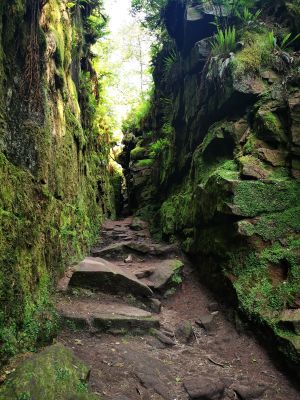
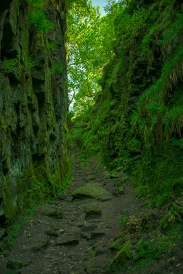
Lud's Church, Chasm in Back Forest, Staffordshire
Lud's Church is a deep chasm in Back Forest with dramatic rock walls covered in moss and hanging plants. The narrow passages wind through the formation, leading visitors past rocky steps and steep sections as they explore the space.
In the 15th century, followers of religious reformer John Wycliffe called Lollards used this hidden location for worship services. The remote setting provided shelter for their religious gatherings away from outside observation.
The chasm connects to medieval English poetry, as scholars link it to the Green Chapel from "Sir Gawain and the Green Knight." Walking through the narrow passages, visitors can feel the literary history that drew writers and readers to this remote spot.
The ground stays wet year-round, so wear sturdy shoes with good grip for safe footing. The route involves narrow passages and uneven surfaces that require careful movement and a steady pace.
The temperature at the bottom stays cool year-round, regardless of weather outside. This stable climate allows plants to grow that could not survive elsewhere in the region.
Location: Staffordshire
Accessibility: Wheelchair inaccessible
Address: Macclesfield, Buxton SK17 0SU, UK
Website: https://visitpeakdistrict.com/business-directory/luds-church
GPS coordinates: 53.18779,-2.02073
Latest update: December 7, 2025 10:04
Shutlingsloe
4.1 km
Crag Hall
3.2 km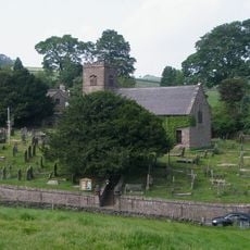
St Michael's Church, Wincle
2.9 km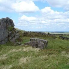
Oliver Hill
4.4 km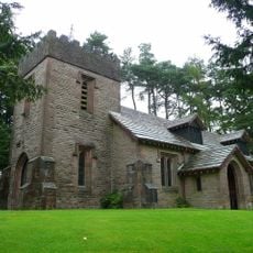
St Saviour's Church, Wildboarclough
3.2 km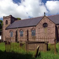
Church of St Paul
4.2 km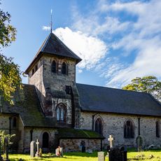
Church of St Matthew
4.8 km
Weslyan Chapel
4.1 km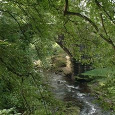
Dane Bridge
2.2 km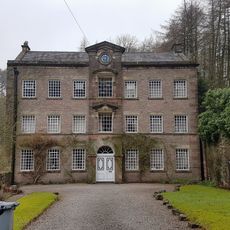
The Old Post Office
3.1 km
Eagle And Child
807 m
Three Shire Heads Bridge
3.7 km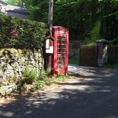
K6 Telephone Kiosk Outside The Old Post Office
3.1 km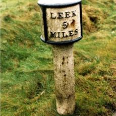
Mile Post Leek 5 Miles
4.3 km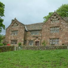
Windygates Hall
4.2 km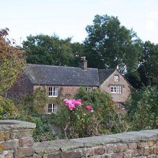
White Lee Farmhouse
3.4 km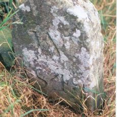
Boundary Stone At Junction Of Wincle And Sutton Civil Parishes Ngr 9542 6786
4 km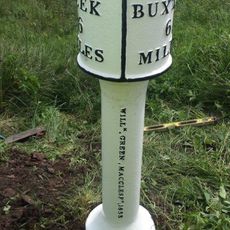
Milepost Leek 6 Miles
4.4 km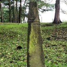
Cross Approximately 350 Metres North West Of Hall
1.9 km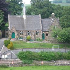
Wincle Church Of England Aided Primary School And Attached Schoolmaster's House
2.8 km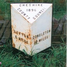
Milepost, E of Berry Bank Farm access road
2.4 km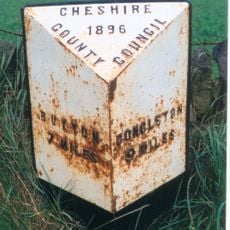
Milepost, W of Blaze Farm access road
2.2 km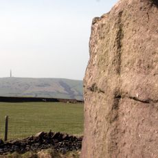
Wayside cross 500m north of Sutton End Farm
4.7 km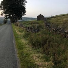
Sniddles (Map Ref. 007-657)
2 km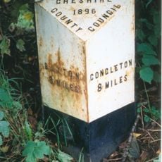
Milepost, Hammerton Moss
2.9 km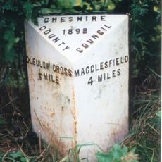
Milepost, S of Hollinset Farm
4.7 km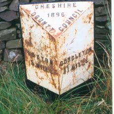
Milepost, S of Sparbent
3.7 km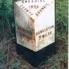
Milepost, Cluelow Cross
4.2 kmReal people, real opinions — but not verified.
Visited this place? Tap the stars to rate it and share your experience / photos with the community! Try now! You can cancel it anytime.

Discover hidden gems everywhere you go!
From secret cafés to breathtaking viewpoints, skip the crowded tourist spots and find places that match your style. Our app makes it easy with voice search, smart filtering, route optimization, and insider tips from travelers worldwide. Download now for the complete mobile experience.

A unique approach to discovering new places❞
— Le Figaro
All the places worth exploring❞
— France Info
A tailor-made excursion in just a few clicks❞
— 20 Minutes