Longleat Woods

Log in to your account

AroundUs is a community-driven map of interesting places, built by curious explorers like you. It grows with every review, story, and photo you share.
Connect to save your favorite spots, contribute locations, and create personalized routes.
Continue with Google
Continue with Apple
Continue with X
Continue with Facebook
Continue with email
By continuing, you accept our Terms and Conditions and our Privacy Policy
Create an account
Add to collection
Map
Suggest a change
Share

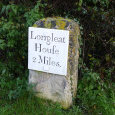
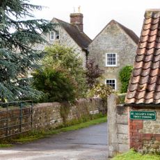
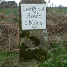
Longleat Woods, Protected woodland near Frome, Somerset, England

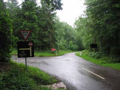
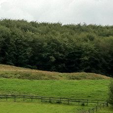
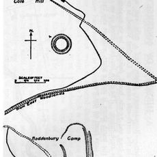
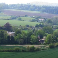
Longleat Woods is an ancient semi-natural broadleaved woodland covering approximately 250 hectares near Frome in Somerset. Multiple walking trails wind through the area, connecting different ecological habitats across the site.

The woodland received its protected status as a Site of Special Scientific Interest in 1972. This designation recognized the area's important ecological value and continues to guide its management.

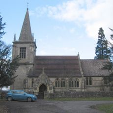
The woodland serves as a space where visitors encounter native species and local wildlife in their natural habitat. Bird watchers find this area especially active during breeding seasons.

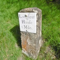
Visitors will find parking near the woodland entrance and can follow the marked pathways throughout the area. The trails remain accessible year-round, though wetter months may create muddy conditions underfoot.

The area holds one of Britain's largest coast redwood plantations within its bounds. The country's tallest giant redwood tree stands on the neighboring Center Parcs grounds.

GPS coordinates: 51.19030,-2.29472

Latest update: December 14, 2025 16:45

Photos
Around this place
Longleat
United Kingdom

Longleat

1.5 km
Longleat Safari and Adventure Park
United Kingdom

Longleat Safari and Adventure Park

2.4 km
Frome Hoard
United Kingdom

Frome Hoard

4.3 km
Marston House
United Kingdom

Marston House

4.2 km
Hales Castle
United Kingdom

Hales Castle

764 m
Roddenbury Hillfort
United Kingdom

Roddenbury Hillfort

504 m
Former Church of St Michael
United Kingdom

Former Church of St Michael

3.6 km
Church of St Leonard, Marston Bigot
United Kingdom

Church of St Leonard, Marston Bigot

4.2 km
Marston Moat
United Kingdom

Marston Moat

3.2 km
Church of St Mary
United Kingdom

Church of St Mary

3.3 km
Church of St Katherine
United Kingdom

Church of St Katherine

838 m
Church of St John the Baptist
United Kingdom

Church of St John the Baptist

3.3 km
Milestone, by southbound lay-by 200m W village in hedgerow
United Kingdom

Milestone, by southbound lay-by 200m W village in hedgerow

3 km
Longleat Hedge Maze
United Kingdom

Longleat Hedge Maze

1.2 km
Milestone About 300 Metres To East Of Park Hill Cottage
United Kingdom

Milestone About 300 Metres To East Of Park Hill Cottage

2.8 km
The Royal Oak
United Kingdom

The Royal Oak

3.1 km
Milestone At Ngr St 7913 4469
United Kingdom

Milestone At Ngr St 7913 4469

1.2 km
Boathouse And Covered Bridge At Longleat House
United Kingdom

Boathouse And Covered Bridge At Longleat House

1.4 km
Milestone At Ngr St 7886 4196
United Kingdom

Milestone At Ngr St 7886 4196

1.7 km
Sturford Mead
United Kingdom

Sturford Mead

3.8 km
St Algars Farmhouse
United Kingdom

St Algars Farmhouse

1.7 km
Orangery With Walled Garden To Rear At Longleat House
United Kingdom

Orangery With Walled Garden To Rear At Longleat House

1.4 km
County Boundary Post On Road Bridge At Junction To Horningsham
United Kingdom

County Boundary Post On Road Bridge At Junction To Horningsham

1.8 km
Milestone About 150 Metres South Of Bath Arms
United Kingdom

Milestone About 150 Metres South Of Bath Arms

2.5 km
Milestone About 100 Metres From Somerset County Boundary, To South West Of Horningsham Village
United Kingdom

Milestone About 100 Metres From Somerset County Boundary, To South West Of Horningsham Village

3.5 km
Milestone At Ngr St 7799 4317
United Kingdom

Milestone At Ngr St 7799 4317

1.5 km
Milestone, Longleat Park; Longcombe East Hanging
United Kingdom

Milestone, Longleat Park; Longcombe East Hanging

4.2 km
Milestone, between Frome and Lane End
United Kingdom

Milestone, between Frome and Lane End

3.2 km
Show the full map
Reviews

Visited this place? Tap the stars to rate it and share your experience / photos with the community! Try now! You can cancel it anytime.

« Longleat Woods - Protected woodland near Frome, Somerset, England » is provided by Around Us (aroundus.com). Images and texts are derived from Wikimedia project under a Creative Commons license. You are allowed to copy, distribute, and modify copies of this page, under the conditions set by the license, as long as this note is clearly visible.

Discover hidden gems everywhere you go!

From secret cafés to breathtaking viewpoints, skip the crowded tourist spots and find places that match your style. Our app makes it easy with voice search, smart filtering, route optimization, and insider tips from travelers worldwide. Download now for the complete mobile experience.

Around Us App Screenshot

A unique approach to discovering new places

Le Figaro

All the places worth exploring

France Info

A tailor-made excursion in just a few clicks

20 Minutes