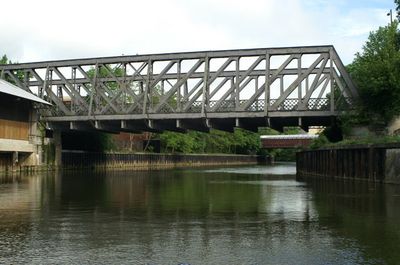
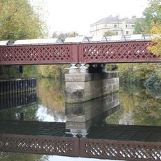
Midland Bridge, Road bridge in Bath, United Kingdom
Midland Bridge is a road bridge that crosses the River Avon in Bath and connects the central areas with the south of the city. The structure uses metal and concrete to carry the B3118 road over the river while providing pedestrian walkways on both sides.
The bridge opened in 1905 and replaced an earlier wrought iron structure from 1870 that served the Midland Railway Company. This marked a shift in Bath's transportation history as the city moved from rail-based to road-based traffic patterns.
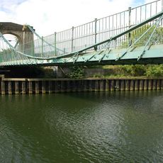
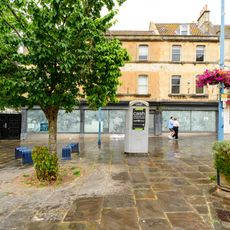
The bridge is part of Bath's transportation network and shows how the city shifted from rail-based travel to modern road traffic. As you cross it, you see how cars and pedestrians move daily between different parts of town.
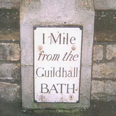
After its 2015 renovation, the bridge offers two lanes for vehicle traffic and dedicated pedestrian walkways. The clear layout makes it straightforward to move between the city center and southern neighborhoods, whether driving or walking.
The construction of the original bridge in 1905 required remarkable engineering to position its heavy metal structure using specialized winches and hydraulic equipment. This technical achievement was extraordinary for its time and demonstrates the complexity involved in building such a crossing.
The community of curious travelers
AroundUs brings together thousands of curated places, local tips, and hidden gems, enriched daily by 60,000 contributors worldwide.