Chest opened
+${chestReward.xp} XP
Explorer
NOUVEAU ×${chestReward.collectible.quantity}
tapez pour fermer
Chest locked

Open chests in the app

Around Us is built for your phone — chests unlock when you walk, explore and capture nearby places.

Enable Location

We need your location to show you interesting places around you

Discover nearby places

Find interesting locations and hidden gems around you

Precise directions

Get accurate directions and distances to places

Your location is never shared with other users. It's only used when you tap the location button.

Municipal Borough of Barnes

Log in to your account

Start exploring — it's free

Trusted by 73,097 travelers worldwide

Continue with Google
Continue with Apple
or

We will send you a code to connect

By continuing, you accept our Terms and Conditions and our Privacy Policy

Check your inbox

We've sent a pincode in your inbox. Please enter the code below.

Municipal Borough of Barnes
Discussion Reviews 1 Photos
3.2k Popularity

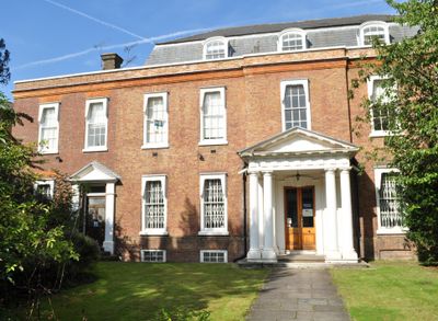
Municipal Borough of Barnes, Former municipal borough in Surrey, England

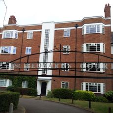
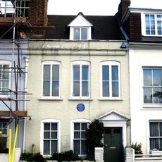
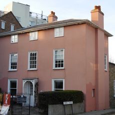
The Municipal Borough of Barnes was an administrative district between the River Thames and Richmond in Surrey, encompassing the settlements of Barnes, Mortlake, and East Sheen. The territory covered approximately 2,521 acres and formed a unified administrative area within the greater London region.

The district began as an urban district in 1894 before receiving municipal borough status in 1932. It ceased to exist as a separate administrative unit when incorporated into Richmond upon Thames in 1965.

The coat of arms featured oars referencing the Oxford and Cambridge boat races, while griffins symbolized ties to the Earls Spencer of Mortlake Manor. These symbols reflected the sporting traditions and noble connections that shaped the area's identity.

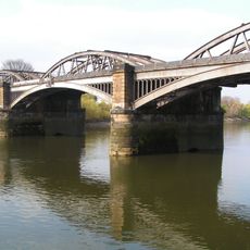
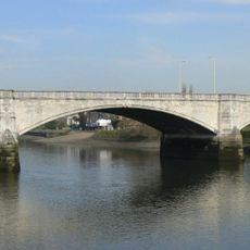
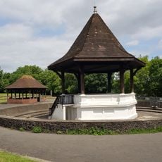
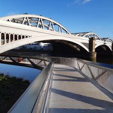
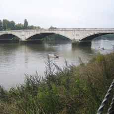
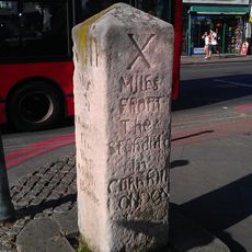
Visitors can trace the former district's historic boundaries through street layouts and green spaces that reflect its original structure. The Thames forms a useful natural boundary and orientation point for understanding the area's former extent.

In 1901, the area acquired a detached exclave called Putney from the Metropolitan Borough of Wandsworth, creating an unusual boundary configuration. This expansion reflected the complex reshaping of London's districts in the early 20th century.

The community of curious travelers

AroundUs brings together thousands of curated places, local tips, and hidden gems, enriched daily by 60,000 contributors worldwide.

Start exploring
GPS coordinates
51.46800,-0.26000
Latest update
March 6, 2026 16:53
Reviews
Share your experience

No review yet

Discussions
Start a discussion...

No discussion yet

« Municipal Borough of Barnes - Former municipal borough in Surrey, England » is provided by Around Us (aroundus.com). Images and texts are derived from Wikimedia project under a Creative Commons license. You are allowed to copy, distribute, and modify copies of this page, under the conditions set by the license, as long as this note is clearly visible.

Discover hidden gems everywhere you go!

From secret cafés to breathtaking viewpoints, skip the crowded tourist spots and find places that match your style. Our app makes it easy with voice search, smart filtering, route optimization, and insider tips from travelers worldwide. Download now for the complete mobile experience.

Around Us App Screenshot

A unique approach to discovering new places

Le Figaro

All the places worth exploring

France Info

A tailor-made excursion in just a few clicks

20 Minutes

Around Us
Travel Guide & Maps
Download

Send to your phone

QR Code
1

Open the camera app on your mobile.

2

Point at the QR code with your camera. A notification will appear.

3

Tap the notification to open the link.