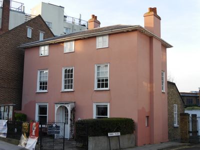
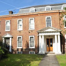
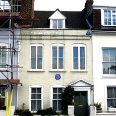
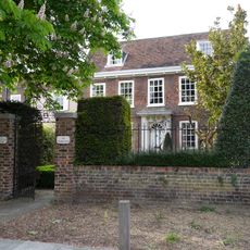
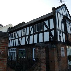
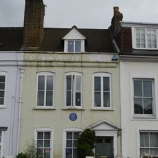
70 Barnes High Street, Grade II listed building in Barnes, England
70 Barnes High Street is a two-story building with traditional English architectural features from the 17th century. It combines the craftsmanship of that period with a solid, functional structure that survives to this day.
The building originates from the 17th century and was later officially recognized as a Grade II listed building, securing its value as part of local heritage. This recognition meant that changes to the structure became carefully regulated to preserve its original nature.
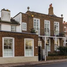
The building serves as a home for local organizations that use the space for community purposes. It plays a natural role in connecting the past and present life of Barnes through its everyday use.
The building sits on Barnes High Street and is easy to reach on foot, with public transportation and local shops nearby. The location is straightforward to access when exploring the area or viewing the local architecture.
The building preserves many original features from its construction period, showing the building methods and design choices of the 1600s. These details give visitors a direct sense of how people built at that time and what craftsmanship techniques they used.
The community of curious travelers
AroundUs brings together thousands of curated places, local tips, and hidden gems, enriched daily by 60,000 contributors worldwide.