Enable Location

We need your location to show you interesting places around you

Discover nearby places

Find interesting locations and hidden gems around you

Precise directions

Get accurate directions and distances to places

Your location is never shared with other users. It's only used when you tap the location button.

Outer Pennine Ring

Log in to your account

Start exploring — it's free

Trusted by 61,495 travelers worldwide

Continue with Google
Continue with Apple
or

We will send you a code to connect

By continuing, you accept our Terms and Conditions and our Privacy Policy

Check your inbox

We've sent a pincode in your inbox. Please enter the code below.

Outer Pennine Ring

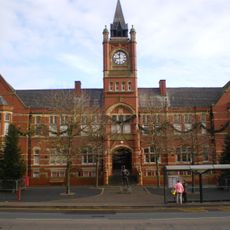
Outer Pennine Ring, Canal network in Northern England, United Kingdom.

Description

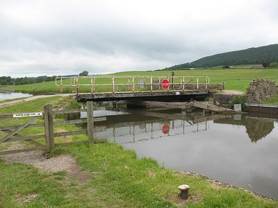
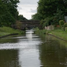
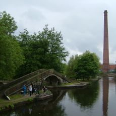
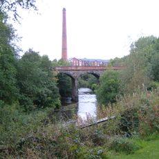
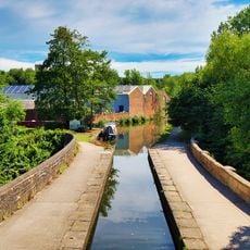
The Outer Pennine Ring is a canal network spanning roughly 175 miles through eight separate waterways connecting Manchester, Leeds, and Castleford across the Pennine mountains. The route passes through approximately 220 locks and multiple tunnels as it winds across varied landscapes.

History

The system originated in the 1960s from an Inland Waterways Association campaign to save the Rochdale Canal, with the complete circuit finished in 2001. This long restoration effort shows how much work was required to reconnect the abandoned transport routes.

Culture

The network shows how industrial transportation evolved through its design, with narrow sections for traditional boats alongside wider areas for larger commercial traffic. This mix reflects how the waterways adapted to different economic needs over time.

Practical

Navigation requires advance planning for tunnel passages and depends on maintenance schedules that can affect seasonal accessibility. Boaters should check ahead for passage permits and maintenance closures as these can significantly change travel plans.

Did you know?

The Foulridge Tunnel gained fame in 1912 when a cow accidentally fell into the water and successfully swam through its entire length. This unusual event remains part of local memory and shows how the canal touched everyday life in the surrounding communities.

GPS coordinates
53.48260,-2.09980
Latest update
December 14, 2025 18:09

AroundUs brings together thousands of curated places, local tips, and hidden gems, enriched daily by 60,000 contributors worldwide. Discover all places nearby (United Kingdom).

« Outer Pennine Ring - Canal network in Northern England, United Kingdom » is provided by Around Us (aroundus.com). Images and texts are derived from Wikimedia project under a Creative Commons license. You are allowed to copy, distribute, and modify copies of this page, under the conditions set by the license, as long as this note is clearly visible.

Discover hidden gems everywhere you go!

From secret cafés to breathtaking viewpoints, skip the crowded tourist spots and find places that match your style. Our app makes it easy with voice search, smart filtering, route optimization, and insider tips from travelers worldwide. Download now for the complete mobile experience.

Around Us App Screenshot

A unique approach to discovering new places

Le Figaro

All the places worth exploring

France Info

A tailor-made excursion in just a few clicks

20 Minutes

Around Us
Travel Guide & Maps
Download

Send to your phone

QR Code
1

Open the camera app on your mobile.

2

Point at the QR code with your camera. A notification will appear.

3

Tap the notification to open the link.