Chest opened
+${chestReward.xp} XP
Explorer
NOUVEAU ×${chestReward.collectible.quantity}
tapez pour fermer

See the monuments around you in AR Open chests in the app

Around Us is built for your phone — point your camera at the streets and discover the monuments and places around you in augmented reality. Around Us is built for your phone — chests unlock when you walk, explore and capture nearby places.

Enable Location

We need your location to show you interesting places around you

Discover nearby places

Find interesting locations and hidden gems around you

Precise directions

Get accurate directions and distances to places

Your location is never shared with other users. It's only used when you tap the location button.

Pettigarths Field Cairns

Log in to your account

Start exploring — it's free

Trusted by 83,981 travelers worldwide

Continue with Google
Continue with Apple
or

We will send you a code to connect

By continuing, you accept our Terms and Conditions and our Privacy Policy

Check your inbox

We've sent a pincode in your inbox. Please enter the code below.

Pettigarths Field Cairns
Discussion Reviews 1 Photos
1.1k Popularity

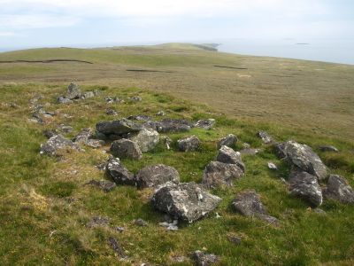
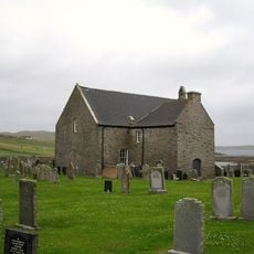
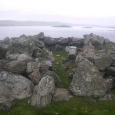
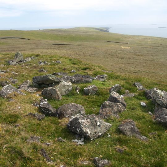
Pettigarths Field Cairns, neolithic archaeological site in Shetland Islands, Scotland, UK

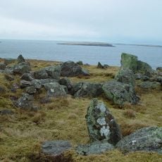
Pettigarths Field Cairns is a round burial structure on the Shetland Islands with a chambered design dating to the Neolithic period. The larger monument has a passage leading to a heel-shaped chamber, while a smaller cairn nearby contains a stone-lined cist burial chamber.

The site was built during the Neolithic period and ranks among the oldest structures on the Shetland Islands. Archaeological digs in the 1930s and further investigation in 1963 uncovered pottery fragments and construction details that reveal the age and use of this ancient place.

These cairns were sacred spaces for early Shetland inhabitants, likely used for burial and ceremonial purposes. The careful placement of stones reflects how important these sites were to the community and their way of honoring the dead and their traditions.

The site is easy to explore on foot and the stones are clearly visible as you walk through the landscape. Visitors should be prepared for local weather conditions and wear suitable footwear for the hilly terrain.

The larger cairn features a subtly curved front that may have been intentionally designed. This careful design choice shows that ancient builders not only created functional structures but also considered aesthetic details when constructing their monuments.

The community of curious travelers

AroundUs brings together thousands of curated places, local tips, and hidden gems, enriched daily by 60,000 contributors worldwide.

Start exploring
Location
GPS coordinates
60.36750,-0.94123
Latest update
August 3, 2026 01:10
Around this place
Standing Stones of Yoxie
United Kingdom

Standing Stones of Yoxie

253 m
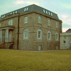
Symbister House
United Kingdom

Symbister House

5.3 km
Huxter Fort
United Kingdom

Huxter Fort

4.2 km
Whalsay Parish Church
United Kingdom

Whalsay Parish Church

3 km
United Kingdom

Pier House Museum

5.4 km
Ward of Symbister Ness Chambered Cairn
United Kingdom

Ward of Symbister Ness Chambered Cairn

6.1 km
Skeo, Symbister, Whalsay
United Kingdom

Skeo, Symbister, Whalsay

5.5 km
Little Skerry
United Kingdom

Little Skerry

7.9 km
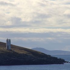
Symbister Ness Lighthouse
United Kingdom

Symbister Ness Lighthouse

6.1 km
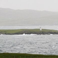
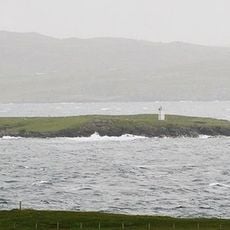
Wether Holm Lighthouse
United Kingdom

Wether Holm Lighthouse

4.5 km
United Kingdom

Muckla Billan

8.2 km
United Kingdom

Stepping Stones

7.6 km
United Kingdom

Long Guen

7.6 km
United Kingdom

Swarta Skerry

10.5 km
United Kingdom

Whalsay, Symbister, Symbister House, East Steading Range

5.2 km
Suther Ness Lighthouse
United Kingdom

Suther Ness Lighthouse

3.4 km
United Kingdom

Whalsay, Symbister, Hem Dock

5.4 km
Whalsay Golf Club
United Kingdom

Whalsay Golf Club

2 km
United Kingdom

Whalsay, Symbister, Symbister House, South East Steading Range

5.2 km
United Kingdom

Whalsay, Symbister, Symbister House, South West Steading Range

5.3 km
United Kingdom

Whalsay, Symbister, Symbister House, West Steading Range

5.2 km
United Kingdom

Whalsay, Symbister, Symbister House, North West Steading Range

5.2 km
United Kingdom

Lunning,house 270m NE of the Knowes

7.9 km
United Kingdom

Sandwick,settlement & burnt mounds between Sandwick & Loch of Sandwick

5.9 km
United Kingdom

New Hoose, South West Dock, Symbister Harbour, Whalsay

5.7 km
United Kingdom

Fish House, South West Dock, Symbister Harbour, Whalsay

5.7 km
United Kingdom

Whalsay, Symbister, Symbister House, North East Steading Range

5.2 km
United Kingdom

Hanseatic Trading Booth

5.4 km
Show the full map
Reviews
Share your experience

No review yet

Discussions
Start a discussion...

No discussion yet

« Pettigarths Field Cairns - neolithic archaeological site in Shetland Islands, Scotland, UK » is provided by Around Us (aroundus.com). Images and texts are derived from Wikimedia project under a Creative Commons license. You are allowed to copy, distribute, and modify copies of this page, under the conditions set by the license, as long as this note is clearly visible.

Discover hidden gems everywhere you go!

From secret cafés to breathtaking viewpoints, skip the crowded tourist spots and find places that match your style. Our app makes it easy with voice search, smart filtering, route optimization, and insider tips from travelers worldwide. Download now for the complete mobile experience.

Around Us App Screenshot

A unique approach to discovering new places

Le Figaro

All the places worth exploring

France Info

A tailor-made excursion in just a few clicks

20 Minutes

Around Us
Travel Guide & Maps
Download

Send to your phone

QR Code
1

Open the camera app on your mobile.

2

Point at the QR code with your camera. A notification will appear.

3

Tap the notification to open the link.