Chest opened
+${chestReward.xp} XP
Explorer
NOUVEAU ×${chestReward.collectible.quantity}
tapez pour fermer

See the monuments around you in AR Open chests in the app

Around Us is built for your phone — point your camera at the streets and discover the monuments and places around you in augmented reality. Around Us is built for your phone — chests unlock when you walk, explore and capture nearby places.

Enable Location

We need your location to show you interesting places around you

Discover nearby places

Find interesting locations and hidden gems around you

Precise directions

Get accurate directions and distances to places

Your location is never shared with other users. It's only used when you tap the location button.

Philips Park

Log in to your account

Start exploring — it's free

Trusted by 86,227 travelers worldwide

Continue with Google
Continue with Apple
or

We will send you a code to connect

By continuing, you accept our Terms and Conditions and our Privacy Policy

Check your inbox

We've sent a pincode in your inbox. Please enter the code below.

Philips Park
Discussion Reviews 1 Photos
3.4k Popularity

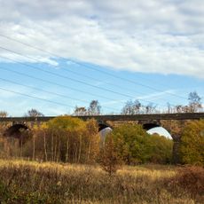
Philips Park, Local Nature Reserve in Whitefield, United Kingdom.

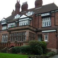
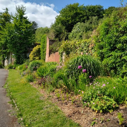
Philips Park is a nature reserve in Whitefield featuring woodland, grassland, streams, and ponds. The site spans the boundary between Whitefield and Prestwich and contains several buildings including a countryside centre.

The land belonged to the Philips family starting in 1799 and was purchased by Whitefield Council in 1948. It then became a public park and nature reserve for the local community.

The Barn Countryside Centre offers visitors hands-on activities like willow weaving and pottery workshops. These programs let people learn traditional crafts while surrounded by natural settings.

The park can be reached via Park Lane northwest of Junction 17 on the M60 motorway. Walking trails circle the grounds and connect different areas, making exploration easy for visitors on foot.

Sections of Medieval Deer Pales run along the park boundaries and date back to when the land was used as a deer park. These old markings reveal the site's earlier use centuries before it became public.

The community of curious travelers

AroundUs brings together thousands of curated places, local tips, and hidden gems, enriched daily by 60,000 contributors worldwide.
Start exploring
Location
Prestwich
Address
Prestwich, Manchester M45 7HJ, UK
GPS coordinates
53.53301,-2.30489
Latest update
September 13, 2026 18:21
Around this place
Drinkwater Park
United Kingdom

Drinkwater Park

1 mi
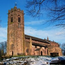
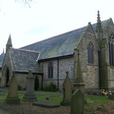
Church of St Mary the Virgin, Prestwich
United Kingdom

Church of St Mary the Virgin, Prestwich

0.8 mi
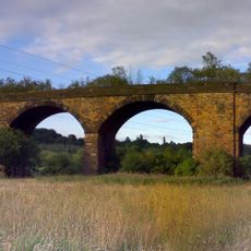
Clifton Viaduct
United Kingdom

Clifton Viaduct

0.6 mi
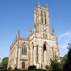
All Saints' Church, Whitefield
United Kingdom

All Saints' Church, Whitefield

1.2 mi
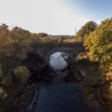
Clifton Aqueduct
United Kingdom

Clifton Aqueduct

0.6 mi
St Margaret's Church, Prestwich
United Kingdom

St Margaret's Church, Prestwich

1.5 mi
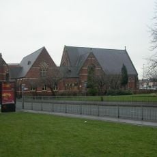
Besses United Reformed Church
United Kingdom

Besses United Reformed Church

0.9 mi
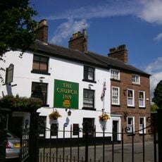
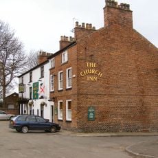
Church Inn
United Kingdom

Church Inn

0.8 mi
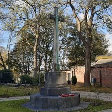
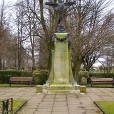
War Memorial, St Mary's Churchyard
United Kingdom

War Memorial, St Mary's Churchyard

0.8 mi
United Kingdom

Monument To Joseph Leng And Others To West Of All Saints Church

1.2 mi
38, Church Lane
United Kingdom

38, Church Lane

0.8 mi
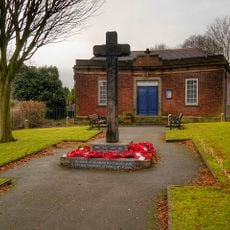
War Memorial
United Kingdom

War Memorial

1.1 mi
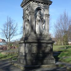
Monument To John Brooks To West Of Church Of St Mary
United Kingdom

Monument To John Brooks To West Of Church Of St Mary

0.8 mi
Prestwich Operatic Society War Memorial
United Kingdom

Prestwich Operatic Society War Memorial

1.1 mi
Rookwood  Wrenwood
United Kingdom

Rookwood Wrenwood

1.3 mi
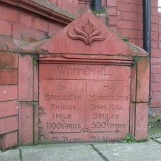
Milestone, Bury New Road
United Kingdom

Milestone, Bury New Road

1.1 mi
United Kingdom

Sundial In Rectory Grounds

0.8 mi
United Kingdom

Gate Piers And Boundary Walls To Churchyard Of St Mary

0.8 mi
United Kingdom

Memorial To Lawrence Hollinshed To South Of West End Of Church Of St Mary, Close To South Boundary Of Churchyard

0.8 mi
United Kingdom

Tomb Of Children Of Thomas Collier, Close To South East Corner Of Church Of St Mary

0.8 mi
United Kingdom

Gateway And Piers To North Of West End Of All Saints Church

1.2 mi
United Kingdom

Sundial To South Of Church Of St Mary

0.8 mi
United Kingdom

Monument To John Munn And Others To South West Of All Saints Church

1.2 mi
United Kingdom

Band Stand

0.9 mi
United Kingdom

Sculpture

0.1 mi
United Kingdom

Scenic viewpoint

0.2 mi
United Kingdom

Scenic viewpoint

0.3 mi
United Kingdom

Waterfall

0.5 mi
Show the full map
Reviews
Share your experience

No review yet

Discussions
Start a discussion...

No discussion yet

« Philips Park - Local Nature Reserve in Whitefield, United Kingdom » is provided by Around Us (aroundus.com). Images and texts are derived from Wikimedia project under a Creative Commons license. You are allowed to copy, distribute, and modify copies of this page, under the conditions set by the license, as long as this note is clearly visible.

Discover hidden gems everywhere you go!

From secret cafés to breathtaking viewpoints, skip the crowded tourist spots and find places that match your style. Our app makes it easy with voice search, smart filtering, route optimization, and insider tips from travelers worldwide. Download now for the complete mobile experience.

Around Us App Screenshot

A unique approach to discovering new places

Le Figaro

All the places worth exploring

France Info

A tailor-made excursion in just a few clicks

20 Minutes

Around Us
Travel Guide & Maps
Download

Send to your phone

QR Code
1

Open the camera app on your mobile.

2

Point at the QR code with your camera. A notification will appear.

3

Tap the notification to open the link.