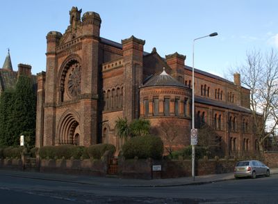
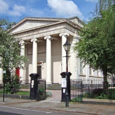
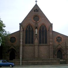
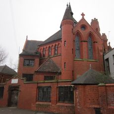
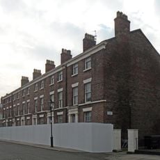
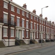
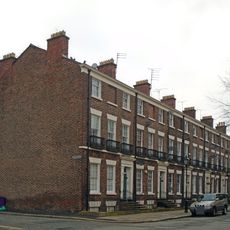
Princes Road Synagogue, Liverpool, Grade I listed synagogue in Toxteth, Liverpool, England
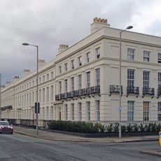
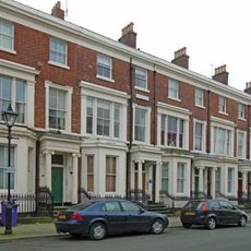
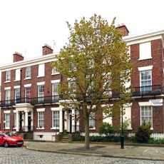
Princes Road Synagogue is a synagogue building in Toxteth featuring Moorish Revival and Romanesque Revival architectural elements. The structure combines Gothic and Moorish styling throughout, incorporating terracotta bricks and detailed ornamental designs in its exterior and interior.
The building was completed in 1874 as the Liverpool Jewish community sought a dedicated place for worship and gathering. Its construction marked an important moment when the growing community required its own house of worship.
The synagogue serves as a gathering place for the local Jewish community to celebrate religious occasions and worship together. It remains a center where traditions are maintained and the community gathers for observances.
The synagogue can be viewed from outside to appreciate its striking architecture. Those interested in attending services or events should contact the facility in advance to understand current access requirements and guidelines.
The interior showcases detailed woodwork, marble surfaces, and gold detailing that make it one of the finest examples of Moorish Revival craftsmanship in Britain. These ornamental features are immediately noticeable when entering the spaces.
Location: Liverpool
Inception: September 2, 1874
Architects: W. & G. Audsley
Architectural style: Romanesque Revival Architecture in the United Kingdom, Moorish Revival architecture, Rundbogenstil, eclectic architecture
Website: http://princesroad.org
GPS coordinates: 53.39510,-2.96500
Latest update: December 8, 2025 19:56
Al-Rahma Mosque
261 m
Greek Orthodox Church of St Nicholas
143 m
Welsh Presbyterian Church
164 m
St Bride's Church, Liverpool
339 m
Church of St. Margaret of Antioch, Liverpool
57 m
Merseyside Centre for the Deaf
45 m
Streatlam Tower
35 m
Florence Nightingale Monument
172 m
Princes Park Hospital
137 m
52-74, Canning Street
324 m
Peter Kavanagh's
229 m
Falkner Terrace
276 m
58-68, Huskisson Street
262 m
St Margaret's Vicarage
91 m
167 And 169, Bedford Street South
290 m
50-56, Huskisson Street
265 m
47, 49 And 51, Catharine Street
288 m
68, Upper Parliament Street
286 m
53, 55 And 57, Catharine Street
259 m
Fir Grove Flats 1 To 27
309 m
180, Bedford Street South
231 m
1-27, Egerton Street
239 m
100, Huskisson Street
279 m
32-40, Huskisson Street
325 m
54, Catharine Street
302 m
43, Catharine Street
330 m
3, Huskisson Street
320 m
21-27, Sandon Street
269 mVisited this place? Tap the stars to rate it and share your experience / photos with the community! Try now! You can cancel it anytime.
Discover hidden gems everywhere you go!
From secret cafés to breathtaking viewpoints, skip the crowded tourist spots and find places that match your style. Our app makes it easy with voice search, smart filtering, route optimization, and insider tips from travelers worldwide. Download now for the complete mobile experience.
A unique approach to discovering new places❞
— Le Figaro
All the places worth exploring❞
— France Info
A tailor-made excursion in just a few clicks❞
— 20 Minutes