Chest opened
+${chestReward.xp} XP
Explorer
NOUVEAU ×${chestReward.collectible.quantity}
tapez pour fermer

See the monuments around you in AR Open chests in the app

Around Us is built for your phone — point your camera at the streets and discover the monuments and places around you in augmented reality. Around Us is built for your phone — chests unlock when you walk, explore and capture nearby places.

Enable Location

We need your location to show you interesting places around you

Discover nearby places

Find interesting locations and hidden gems around you

Precise directions

Get accurate directions and distances to places

Your location is never shared with other users. It's only used when you tap the location button.

River Coquet

Log in to your account

Start exploring — it's free

Trusted by 86,305 travelers worldwide

Continue with Google
Continue with Apple
or

We will send you a code to connect

By continuing, you accept our Terms and Conditions and our Privacy Policy

Check your inbox

We've sent a pincode in your inbox. Please enter the code below.

River Coquet
Discussion Reviews 1 Photos
8.8k Popularity

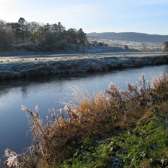
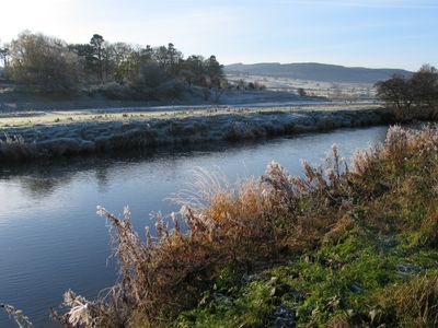
River Coquet, River system in Northumberland, England

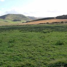
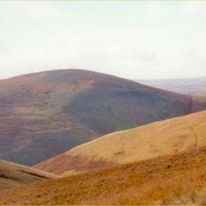
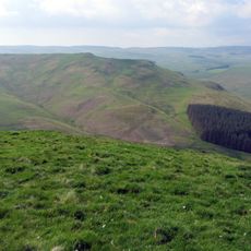
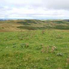
The River Coquet is a river in Northumberland that rises in the Cheviot Hills and flows east before entering the North Sea at Amble. Along its course it passes through open moorland, wooded valleys, and small towns before reaching the coast.

From the 12th century onward, the river powered mills that served local crafts and trade along its banks. Over time, the communities that grew around these mills shaped much of the settlement pattern still visible in the valley today.

The river is known for its salmon and sea trout, which draw anglers from across the region to its banks. Fishing here has been a local tradition for generations, and on many stretches you can see people casting their lines on quiet mornings.

The riverbanks are easy to reach in many places, particularly near towns and along marked footpaths. Water levels can change quickly depending on the weather, so it is worth checking conditions before heading out to lower stretches.

One stretch of the river runs along the edge of the Otterburn Ranges, a military training area where public access is restricted. Because of this, that section of the valley has been left largely undisturbed and supports wildlife that is rarely seen elsewhere along the river.

The community of curious travelers

AroundUs brings together thousands of curated places, local tips, and hidden gems, enriched daily by 60,000 contributors worldwide.
Start exploring
Location
GPS coordinates
55.30837,-1.94181
Latest update
September 13, 2026 03:12
Around this place
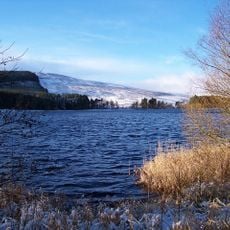
Catcleugh Reservoir
United Kingdom

Catcleugh Reservoir

18.8 mi
Chew Green
United Kingdom

Chew Green

16.1 mi
Pennymuir Roman camps
United Kingdom

Pennymuir Roman camps

19.1 mi
Shillhope Law
United Kingdom

Shillhope Law

11.4 mi
Five Stanes
United Kingdom

Five Stanes

20.1 mi
Three Kings
United Kingdom

Three Kings

16.4 mi
Church of St Francis of Assisi
United Kingdom

Church of St Francis of Assisi

16.6 mi
Outer Golden Pot
United Kingdom

Outer Golden Pot

14.9 mi
Hedley And Robson Tombs Circa 20 Yards South-East Of Church Of St Francis
United Kingdom

Hedley And Robson Tombs Circa 20 Yards South-East Of Church Of St Francis

16.6 mi
Heugh Law
United Kingdom

Heugh Law

19.2 mi
Hindhope Hill
United Kingdom

Hindhope Hill

17.8 mi
Loddan Hill
United Kingdom

Loddan Hill

18.5 mi
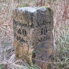
Milestone Circa 40 Yards South-East Of Ramshope Cottage
United Kingdom

Milestone Circa 40 Yards South-East Of Ramshope Cottage

18.8 mi
Milestone North West Of Bellshiel Bridge At Ngr 802997
United Kingdom

Milestone North West Of Bellshiel Bridge At Ngr 802997

14.6 mi
Milestone Circa 40 Yards South-East Of Catcleugh House
United Kingdom

Milestone Circa 40 Yards South-East Of Catcleugh House

17.9 mi
Milestone Circa 100 Yards North-West Of Low Byrness
United Kingdom

Milestone Circa 100 Yards North-West Of Low Byrness

16.1 mi
Roman camp, 900m NNE of Featherwood
United Kingdom

Roman camp, 900m NNE of Featherwood

13.7 mi
Compensation Arch And Basin At Catcleugh Reservoir
United Kingdom

Compensation Arch And Basin At Catcleugh Reservoir

17.9 mi
Bellshiel Law long cairn
United Kingdom

Bellshiel Law long cairn

13.9 mi
Milestone Circa 1/4 Mile West Of Whitelee
United Kingdom

Milestone Circa 1/4 Mile West Of Whitelee

20.6 mi
The Rectory
United Kingdom

The Rectory

16.6 mi
Middle Golden Pot medieval wayside cross
United Kingdom

Middle Golden Pot medieval wayside cross

14.3 mi
Observation post 240m west of Ridlees Cairn
United Kingdom

Observation post 240m west of Ridlees Cairn

12.4 mi
Woden Law
United Kingdom

Woden Law

18.1 mi
Milestone Circa 1/4 Mile North-East Of Blakehopeburnhaugh
United Kingdom

Milestone Circa 1/4 Mile North-East Of Blakehopeburnhaugh

15.5 mi
Milestone At Byrness
United Kingdom

Milestone At Byrness

16.9 mi
Milestone Circa 100 Yards South-East Of Ramshope Lodge
United Kingdom

Milestone Circa 100 Yards South-East Of Ramshope Lodge

19.7 mi
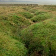
World War I practice trenches 740m north west of Short Fell
United Kingdom

World War I practice trenches 740m north west of Short Fell

12.6 mi
Show the full map
Reviews
Share your experience

No review yet

Discussions
Start a discussion...

No discussion yet

« River Coquet - River system in Northumberland, England » is provided by Around Us (aroundus.com). Images and texts are derived from Wikimedia project under a Creative Commons license. You are allowed to copy, distribute, and modify copies of this page, under the conditions set by the license, as long as this note is clearly visible.

Discover hidden gems everywhere you go!

From secret cafés to breathtaking viewpoints, skip the crowded tourist spots and find places that match your style. Our app makes it easy with voice search, smart filtering, route optimization, and insider tips from travelers worldwide. Download now for the complete mobile experience.
Around Us App Screenshot

A unique approach to discovering new places

Le Figaro

All the places worth exploring

France Info

A tailor-made excursion in just a few clicks

20 Minutes

Around Us
Travel Guide & Maps
Download

Send to your phone

QR Code
1

Open the camera app on your mobile.

2

Point at the QR code with your camera. A notification will appear.

3

Tap the notification to open the link.