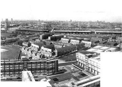
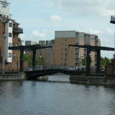
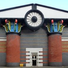
Samuda Estate, Public housing estate in Isle of Dogs, London, United Kingdom
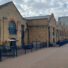
Samuda Estate is a public housing development on the Isle of Dogs featuring multiple residential blocks of varying heights arranged around car-free public squares. Covered walkways link the buildings together, creating an interconnected living environment for residents.
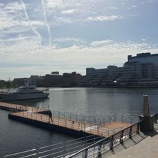
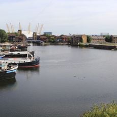
The site was developed in 1967 on land previously occupied by a working shipyard, replacing industrial structures with residential housing. This shift from manufacturing to housing reflected broader changes happening in London's docklands during that period.
The estate takes its name from the Samuda Brothers shipyard that once operated on this site and shaped the local identity. You can sense this industrial past reflected in how the buildings and public spaces are arranged throughout the neighborhood.
The estate is easy to navigate on foot with clear pathways connecting the main residential blocks and open squares. Visitors should allow time to walk through the different areas and appreciate the layout of the interconnected spaces.
Kelson House, the tallest building on the site, features a distinctive split-level maisonette design where living areas and bedrooms are deliberately stacked on alternate floors. This unusual arrangement allows for more spacious homes within a compact footprint.
The community of curious travelers
AroundUs brings together thousands of curated places, local tips, and hidden gems, enriched daily by 60,000 contributors worldwide.