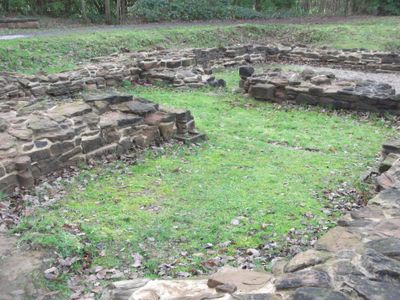
Sandwell Priory, Medieval monastery ruins in Sandwell, England
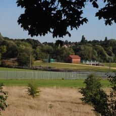
Sandwell Priory is a medieval Benedictine monastery where the remaining stone walls outline the church foundations, living quarters, and water supply system. The archaeological remains sit within Sandwell Valley Country Park and show how the religious community organized its buildings and grounds.
The priory was founded in 1190 by William Fitz Guy and operated as a Benedictine community until its dissolution in 1525. Cardinal Wolsey ordered the closure before King Henry VIII. carried out his broader campaign to dissolve monasteries across the realm.
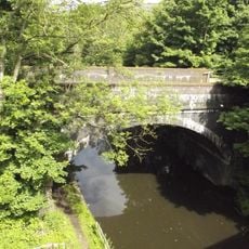
The monks here managed fishponds as part of their daily life, and the water channels they dug shaped how the land functioned for centuries. These practical systems reflect how medieval religious communities organized their surroundings.
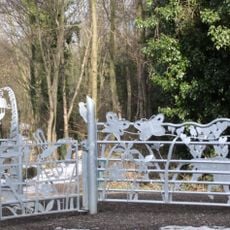
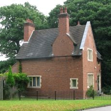
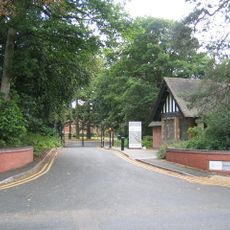
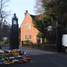
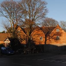
The ruins are located within Sandwell Valley Country Park and are accessible for visitors to walk among the stone remains and explore the grounds. A visitor center at Sandwell Park Farm provides background information about the site.
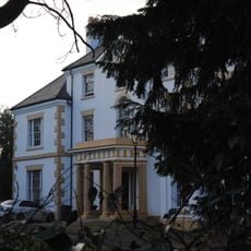
Archaeological work uncovered that parts of the original priory structure were reused and incorporated into a mansion built in 1701, which stood on the site until its demolition in 1928. This layering of medieval and later architecture makes the location historically complex and worth examining carefully.
The community of curious travelers
AroundUs brings together thousands of curated places, local tips, and hidden gems, enriched daily by 60,000 contributors worldwide.