South Norwood Country Park, Country park in South Norwood, United Kingdom.
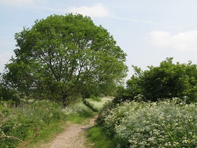
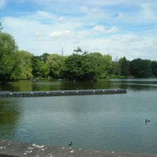
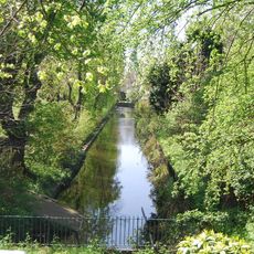
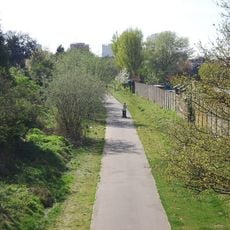
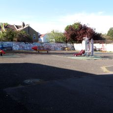
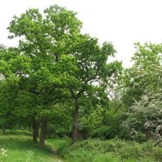
South Norwood Country Park is a green space in South London combining woodlands, wetland areas, and open meadows in a single landscape. Networks of paths wind through the grounds, offering visitors different routes to explore the varied terrain.
The land began as a sewage treatment facility operated by Croydon from 1862 onwards, serving an industrial function for the town. The site underwent a major conversion to become a public country park, which finally opened to visitors in 1989.
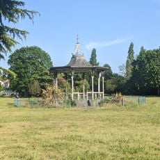
The park serves as a gathering place for people who enjoy walking, observing wildlife, and spending time outdoors with their families. It functions as a neighborhood retreat where visitors regularly discover the rhythm of seasons through the changing landscapes.
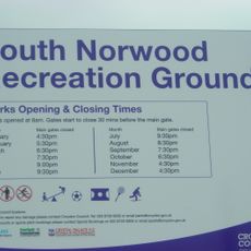
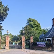
The park can be entered from several different points around its perimeter, with car parking available near the main access areas. Public transport connections via the nearby Harrington Road tram station make visiting straightforward without a vehicle.
Visitors can spot roughly 100 different bird species throughout the year, particularly in the wetland areas where migratory birds frequently stop. This diversity makes the park a compelling destination for bird watching within urban London.
The community of curious travelers
AroundUs brings together thousands of curated places, local tips, and hidden gems, enriched daily by 60,000 contributors worldwide.