Southampton Castle, Castle ruins in Southampton, England
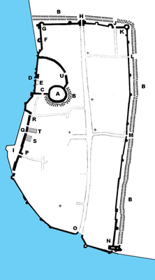
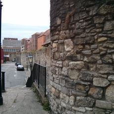
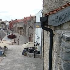
Southampton Castle is a castle ruin in the northwestern corner of Southampton city center in England, where a stone fortification once overlooked the River Test and the main shipping lanes. Only scattered wall fragments and archaeological traces remain above ground today, as much of the original site has been built over across the centuries.
The site began as a timber structure shortly after the Norman Conquest in the 11th century and was later rebuilt in stone under Henry II. Over time the castle fell into disuse and much of its fabric was dismantled or built over, leaving only the traces visible today.
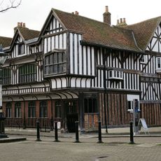
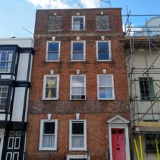
The castle once stood at the heart of Southampton's daily life, overlooking the port where goods from across Europe arrived. Scattered stonework visible around the town center gives a sense of how central this place was to medieval Southampton.
The remains are spread across different parts of the city center, so it helps to have a map or a guide before you start looking. Comfortable shoes and some time to wander on foot give you the best chance of spotting all the surviving fragments.
In 1382 the castle was equipped with cannons, placing it among the earliest fortifications in England to use gunpowder weapons. This happened decades before such weapons became common at other English castles, pointing to the crown's particular interest in protecting this port.
The community of curious travelers
AroundUs brings together thousands of curated places, local tips, and hidden gems, enriched daily by 60,000 contributors worldwide.