
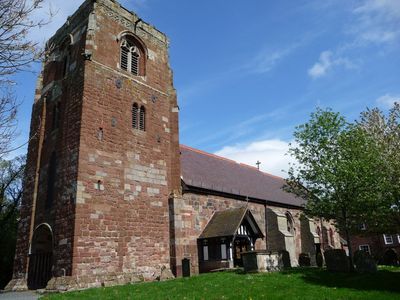
St Eata's Church, Atcham, Medieval church in Atcham, England.
St Eata's Church is a place of worship in Atcham built from red and grey sandstone, distinguished by a four-stage tower with gargoyles and buttresses. The interior contains an octagonal font and painted wooden panels depicting biblical scenes.
The original building was founded in the early period, but the current structure shows features added over multiple centuries. The distinctive tower dates from the mid-12th century and has defined its appearance ever since.
The interior displays crafted details from different periods that visitors notice while walking through the space. These objects tell the story of people who have worshipped and gathered here across the centuries.
The location is easy to reach and allows visitors to explore both the interior and the surrounding churchyard. It is worth taking time to look around and paying attention to ground conditions, especially in wet weather.
The churchyard contains several protected structures, including a notable memorial from the late 1700s. These tombstones and monuments offer insight into families who shaped this place across generations.
Location: Atcham
Inception: 12 century
Architectural style: English Gothic architecture, Norman architecture
Website: http://steatasatcham.co.uk
GPS coordinates: 52.67850,-2.68040
Latest update: December 14, 2025 11:21
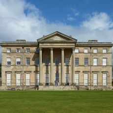
Attingham Park
1.1 km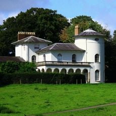
Cronkhill
1 km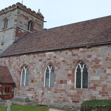
St Andrew's Church, Wroxeter
2.4 km
Longner Hall
2.2 km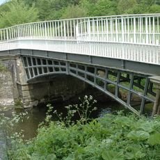
Cantlop Bridge
3.8 km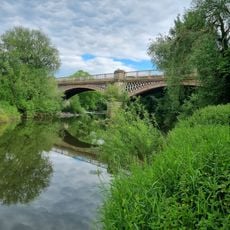
Belvidere Bridge
4 km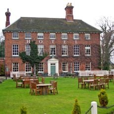
The Mytton and Mermaid Hotel
89 m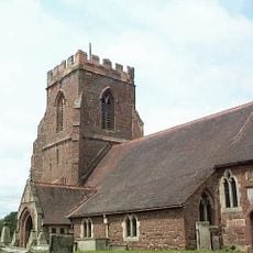
All Saints Church, Berrington
2.6 km
Church of St Giles
4.3 km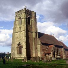
Church of St Lucia
3.5 km
The Old Post Office
2.4 km
Atcham Bridge
121 m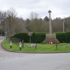
Cound War Memorial
4.3 km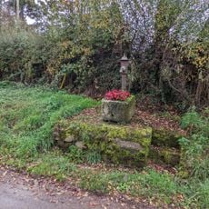
Village Pump And Trough Approximately 10 Metres To South Of Numbers 66 And 72
3.9 km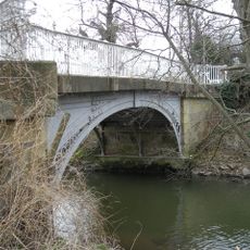
Cound Arbour Bridge
4.2 km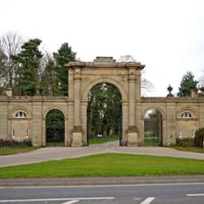
Entrance Screen And East And West Front Lodges To Attingham Park
176 m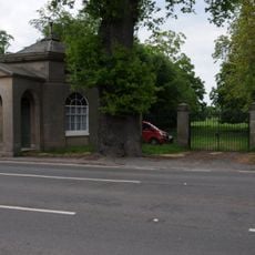
Tern Lodge And Adjoining Wall
1.5 km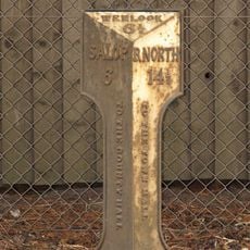
Milepost Approximately 50 Metres To North Of Number 39, Venusbank
3.5 km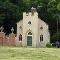
Back Lodge
869 m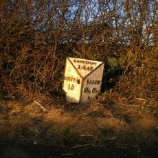
Milestone Approximately 10 Metres To North-West Of Emstrey Cottages
1.6 km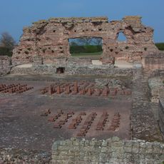
Site of Roman town of Wroxeter (Viroconium)
2.5 km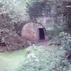
Shropshire Union Canal North West Entrance To Berwick Tunnel
3 km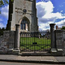
Churchyard gates, gate piers and approximately 3 metres of flanking walls approximately 10 metres to west of west tower of Church of St Andrew
2.4 km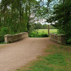
Estate Bridge Approximately 120 Metres To South East Of Attingham Park
1.3 km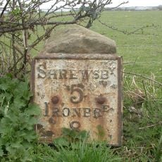
Milestone, 260m NW Wroxeter crossroads
2.2 km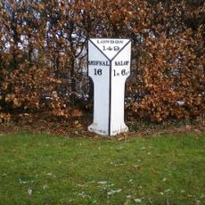
Milepost, London Road; by Emstrey Cemetery
3.3 km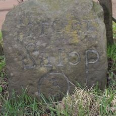
Milestone, Betton Abbots, S of Yewtree Cottages
2.4 km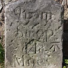
Milestone, between B Abbots & Cantlop Bridge
3.1 kmVisited this place? Tap the stars to rate it and share your experience / photos with the community! Try now! You can cancel it anytime.
Discover hidden gems everywhere you go!
From secret cafés to breathtaking viewpoints, skip the crowded tourist spots and find places that match your style. Our app makes it easy with voice search, smart filtering, route optimization, and insider tips from travelers worldwide. Download now for the complete mobile experience.

A unique approach to discovering new places❞
— Le Figaro
All the places worth exploring❞
— France Info
A tailor-made excursion in just a few clicks❞
— 20 Minutes