Watling Park, Public park in Burnt Oak, London Borough of Barnet, England
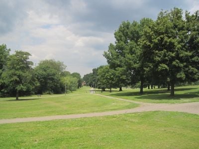
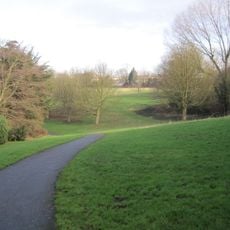
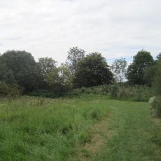
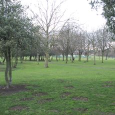
Watling Park is a public green space of around 7.5 hectares with mown grassland, sports facilities, a children's playground, and a rose garden. The Burnt Oak Brook runs through the site, adding water features and natural character to the landscape.
The park opened in 1931 as part of a major housing and recreation development by London County Council that turned farmland into public space. This creation reflected the rapid urban expansion happening across North London during that period.
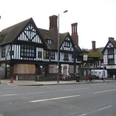
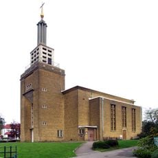
The park's name comes from Watling Street, an ancient Roman road that shaped how this part of London developed. That historical connection is still visible in how the neighborhood is organized around these old routes.
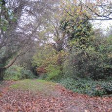
Multiple entrances are located on Watling Avenue, Orange Hill Road, Fortescue Road, Cressingham Road, Abbots Road, and Colchester Road, making it easy to access from different directions. Walking along the creek helps you navigate between different zones and discover various facilities throughout the site.
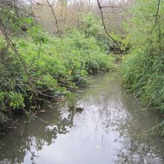
A tributary of the Silk Stream flows through the park, with natural undergrowth along its banks that supports local wildlife. These less manicured areas provide shelter and habitat for various animal species while contrasting with the formal grassland zones.
The community of curious travelers
AroundUs brings together thousands of curated places, local tips, and hidden gems, enriched daily by 60,000 contributors worldwide.