Wavertree Botanic Gardens, Grade II* listed park and garden in Wavertree, England
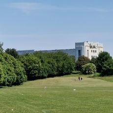
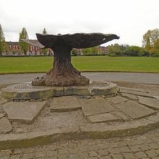
Wavertree Botanic Gardens is a 14.6-hectare park featuring Victorian planting beds arranged in geometric patterns and stone entrance gates with iron details distributed across multiple pathways. The grounds display a carefully designed landscape with various planted areas and marked routes for visitors to follow.
The site began as a private botanic garden in 1836 and passed into public ownership in 1846 when Liverpool Corporation took over its management. This transition transformed it into an accessible space for the city's residents.
The garden reflects Victorian ideals of municipal park design and maintains its original formal layout from the mid-1800s with circular planting arrangements. Visitors today see the geometric patterns and carefully organized green spaces that express the Victorian vision of ordered nature.
The garden is open daily with main access from Botanic Road off Edge Lane, offering parking and well-maintained paths throughout. The established routes allow for a comfortable visit regardless of walking pace or mobility needs.
The curator's lodge from 1836 still stands on the grounds and now operates as the Botanic Lodge Nursery. This building preserves a direct link to the garden's early founding years.
The community of curious travelers
AroundUs brings together thousands of curated places, local tips, and hidden gems, enriched daily by 60,000 contributors worldwide.