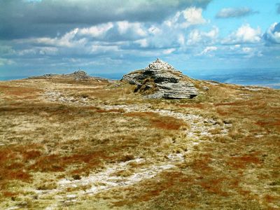
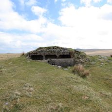
Yes Tor, Mountain summit in Dartmoor National Park, England.
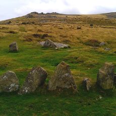
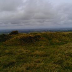
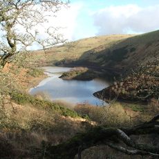
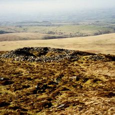
Yes Tor is a granite summit on Dartmoor in Devon, England, and one of the highest points in southern England. The top is formed by exposed rock outcrops that stand above the open moorland stretching in all directions.
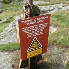
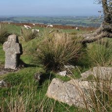
The land around Yes Tor was taken over by the British Army in the 20th century and turned into an active firing range. This military presence has defined how the area is used ever since, with large parts of the moor regularly closed off for training exercises.
The British rock band Yes featured this tor on the inner sleeve of their 1978 album Tormato, giving the summit a small place in music history. Fans of the band sometimes visit specifically to see the landscape pictured on that record.
Before setting out, check whether the military firing range is open, as access to the summit can be blocked on training days. Parking near Meldon Reservoir gives a straightforward starting point for the walk up to the top.
Yes Tor and its neighbor High Willhays are the only two summits south of the Peak District that reach over 2,000 feet (610 m). The two tops are so close together that most walkers visit both on the same trip.
The community of curious travelers
AroundUs brings together thousands of curated places, local tips, and hidden gems, enriched daily by 60,000 contributors worldwide.