Meldon Quarry, Granite quarry in Devon, England
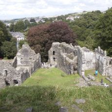
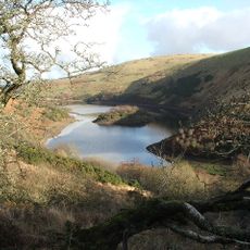
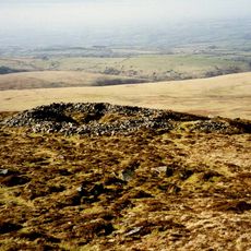
Meldon Quarry is a granite extraction site at the northern edge of Dartmoor, sprawling across hundreds of acres in Devon. The landscape displays steep rock walls and exposed stone formations that resulted from more than a century of intensive mining activity.
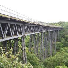
The quarry opened in 1897 and rapidly became a major supplier of material for railway construction. Over the following decades, it developed into one of the most significant stone extraction operations supporting British rail infrastructure.
For many decades, this location shaped the lives of workers who developed deep expertise in extracting stone from the earth. Their skills and knowledge passed down through families created a strong connection between the community and the land.
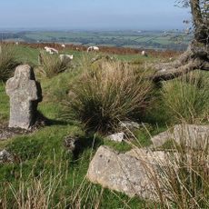
The terrain is uneven with loose stones and steep drops, so sturdy footwear and careful movement are essential. The best times to visit are during drier months when surfaces are less slippery.
The granite formations here possess exceptional durability that made them particularly valuable for railway ballast. This natural quality meant the stone could withstand the pressure and wear from passing trains better than materials from many other locations.
Location: Devon
GPS coordinates: 50.71592,-4.02589
Latest update: December 12, 2025 12:00
Okehampton Castle
2 km
Meldon Viaduct
660 m
Yes Tor
2.7 km
Museum of Dartmoor Life
3 km
Town Hall
3 km
Church of All Saints
2.7 km
Fice's Well And Cross
2.4 km
Chapel Of St James
3.1 km
White Hart Hotel
3 km
13, Fore Street
3.1 km
14, Fore Street
3.1 km
Lloyds Bank
3 km
Chimney About 50 Metres West North West Of Town Mill
3 km
Churchyard Cross Immediately West Of All Saints Church
2.7 km
Town Mill
3 km
Meldon Reservoir
1.7 km
Chalet Treloar
2.7 km
Brock's Almshouses
2.7 km
5, West Street
3 km
Darley House Including Front Garden Area Railings And Piers
2.9 km
Stone cross adjoining Fitz or Fice's Well
2.4 km
Sourton Down Cross
2.8 km
26-38, Station Road
2.8 km
Wayside cross in the garden hedge of Southcott Cottage, at a crossroads called Southcott Cross
3 km
Footbridge About 30 Metres West Of Chimney At Town Mill
3 km
1 and 3, West Street
3 km
K6 Telephone Kiosk Outside St James's Church, Fore Street
3.1 km
Round cairn and shelter 140m north west of Yes Tor summit
2.6 kmVisited this place? Tap the stars to rate it and share your experience / photos with the community! Try now! You can cancel it anytime.
Discover hidden gems everywhere you go!
From secret cafés to breathtaking viewpoints, skip the crowded tourist spots and find places that match your style. Our app makes it easy with voice search, smart filtering, route optimization, and insider tips from travelers worldwide. Download now for the complete mobile experience.
A unique approach to discovering new places❞
— Le Figaro
All the places worth exploring❞
— France Info
A tailor-made excursion in just a few clicks❞
— 20 Minutes