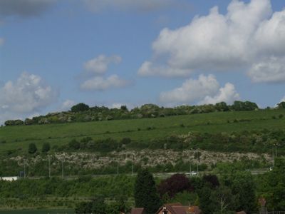
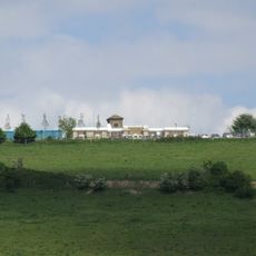
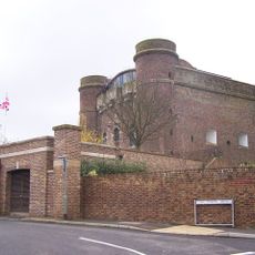
Fort Borstal, Military fort in Rochester West, England
Fort Borstal is a military fortification with a polygonal shape positioned to defend the high ground southwest of Rochester in Kent. The structure takes advantage of the sloping terrain to maximize defensive capabilities across its earthworks and gun emplacements.
The fort was built between 1875 and 1895 using convict labor as part of southeast England's extensive coastal defense network. Its construction reflected Victorian military strategy to guard against potential invasion from the sea.
The fort was part of a four-part defensive ring that Victorian military engineers built around Rochester. These structures show how people of that era thought about protecting their coast from potential threats.
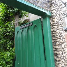
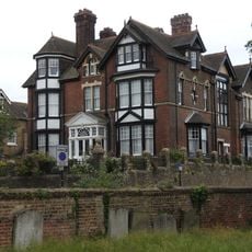
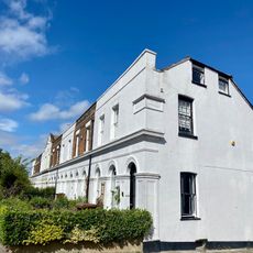
The fort is not open to public access today as it has been converted into private residential housing since 1991. You can view it from surrounding public paths and roads, though entry to the grounds is not permitted.
A railroad track once ran approximately 550 meters across the grounds and connected to a rope-worked incline leading to a gravel pit by the River Medway. This setup revealed how the fort's maintenance was linked to the local quarrying industry.
The community of curious travelers
AroundUs brings together thousands of curated places, local tips, and hidden gems, enriched daily by 60,000 contributors worldwide.