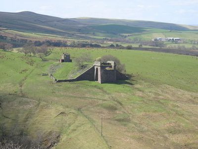
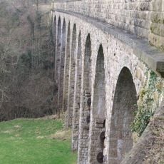
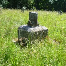
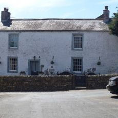
Belah Viaduct, Railway viaduct foundations in Stainmore, England
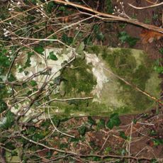
Belah Viaduct was a railway bridge that crossed the Belah Valley in the elevated Stainmore area of northern England. Only the stone foundations at each end remain standing today, marking the two points where the structure once met the ground on either side of the valley.
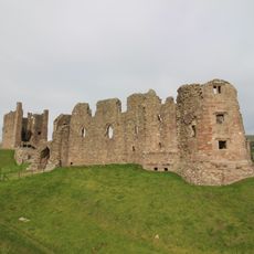
The viaduct was built in 1861 as part of a line meant to link remote parts of northern England with the wider rail network. It was taken down in 1963 after the route was judged no longer worth keeping as part of a wider review of railway lines across the country.
The stone bases show how the railway once tied remote valleys into a wider network and changed how goods and people moved through this part of northern England. Standing among them today, you get a clear sense of how deeply industry marked this quiet corner of the landscape.
The foundations are freely accessible on both sides of the valley and can be reached on foot across open land. The site sits at a high point on the Stainmore pass, so weather can change fast and sturdy footwear is a good idea.
When the viaduct was demolished, workers found a time capsule containing a poem written by someone who had worked on its original construction. This kind of firsthand record from the building site is rare and gives a personal view of what it was like to work on such a structure in this remote highland setting.
The community of curious travelers
AroundUs brings together thousands of curated places, local tips, and hidden gems, enriched daily by 60,000 contributors worldwide.