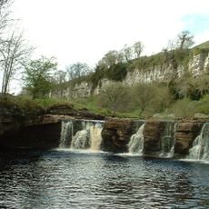
Nine Standards Rigg, Mountain summit in Cumbria, England
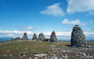
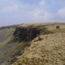
Nine Standards Rigg is a summit in the Pennines, Cumbria, England, sitting at around 2,170 feet (662 meters) and topped by nine large stone cairns clustered close together near the highest point. These stacked-stone structures rise clearly above the surrounding moorland and can be seen from a good distance as you approach.
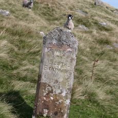
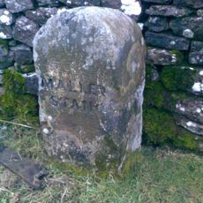
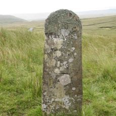
The nine cairns have appeared on maps since the 18th century and are thought to have served as boundary markers between the old regions of Westmorland and Swaledale. Their exact origin is still debated, which makes them one of the more intriguing features of the northern Pennines.
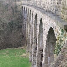
The summit lies along the famous Coast to Coast Walk, drawing long-distance hikers from around the world who use it as a key waypoint. For many walkers, reaching this spot marks an important milestone in their multi-day journey across northern England.
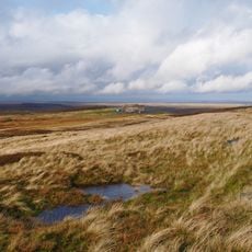
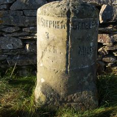
Several walking routes start near the town of Kirkby Stephen and lead up to the summit, with paths that can be muddy and uneven, so sturdy waterproof boots are a good idea. Weather on this open moorland can change fast, and there is little shelter on the way up, so a windproof layer is worth packing.
The summit sits right on the watershed between the Eden valley and Whitsundale Beck, meaning rainwater falling just a few feet apart drains toward opposite coasts of England. The Coast to Coast Walk passes over this top, and hikers are asked to rotate between seasonal routes to help the boggy ground recover.
The community of curious travelers
AroundUs brings together thousands of curated places, local tips, and hidden gems, enriched daily by 60,000 contributors worldwide.