Tan Hill, Summit in Yorkshire Dales National Park, England.
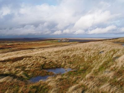
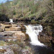
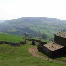
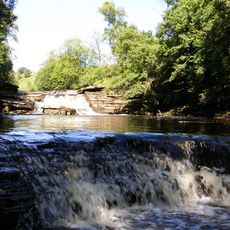
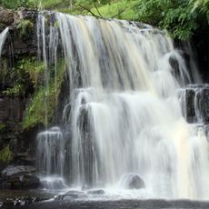
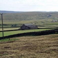
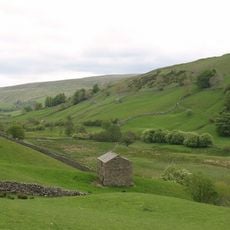
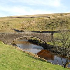
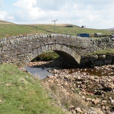
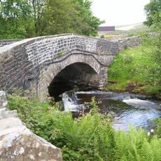
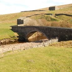
Tan Hill is a summit in the Yorkshire Dales rising to approximately 1,732 feet and surrounded by open moorland with sweeping views across the region. The terrain features rolling hills and walking paths that wind through the upland landscape of North Yorkshire.
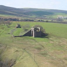
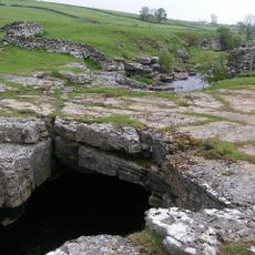
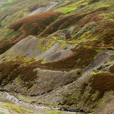
Coal mining took place at Tan Hill from the 14th century until 1929, initially supplying fuel for Richmond Castle. The mining operations focused on shallow extraction from the upper coal seams that were accessible.
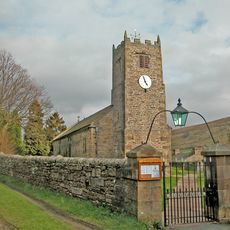
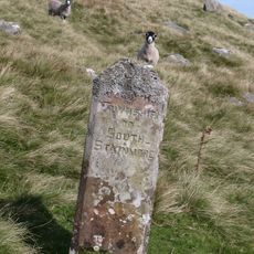
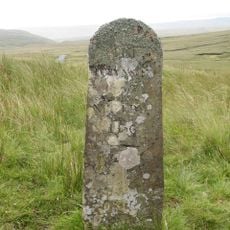
The location marks a significant point along the Pennine Way, connecting walkers to centuries of mining heritage in the Yorkshire Dales region.
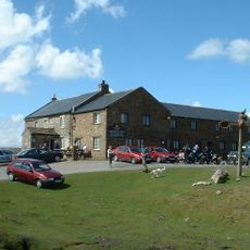
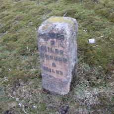
Visitors can reach Tan Hill from various starting points, with access available via walking routes or by vehicle. The summit has parking spaces and provides access to a historic inn for refreshments and shelter.
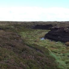
The area contains Carboniferous sandstone layers beneath the surface with coal seams that enabled mining activity for centuries. This geological layering is visible in rock outcrops and reveals the story of underground resources.
Location: Muker
Location: Bowes
Location: Kaber
GPS coordinates: 54.45583,-2.15944
Latest update: December 7, 2025 10:08
Nine Standards Rigg
7.3 km
Belah Viaduct
6.9 km
Tan Hill Inn
65 m
Kisdon Force
5.8 km
Rey Cross
5.6 km
Kisdon
6.9 km
Wain Wath Force
5.4 km
Catrake Force
5.5 km
East Gill Force
5.6 km
God's Bridge
8.4 km
Bowes Moor
4.5 km
Church of Saint Mary
9 km
Arkengarthdale Gunnerside and Reeth Moors
6.3 km
Angram Bottoms
6.9 km
St Stephen's Church
8.4 km
Bridge Approximately 200 Metres East Of Firs Farmhouse
6.5 km
Ravenseat Packhorse Bridge
4.9 km
Long Close Bridge
8.8 km
United Reform Church And Former Manse, With Railings
5.6 km
Scar House Bridge
8.8 km
Bridge Approximately 30 Metres East Of Stone House
7 km
Beldi Hill Low Level lead mine and ore works
6 km
Boundary Stone On North Side Of Road To North West Of Gate House
3 km
Stone Approximately 75 Metres South Of North Yorkshire-Cumbria Boundary
9 km
Keld War Memorial, North Yorkshire
5.9 km
Gunnerside Gill lead mines and ore works
6.8 km
Milestone, east bound carriageway at Stainmore Summit 100m E of lay-by
6 km
Milestone, Blackhause Bottom, North Stainmore, Beldon Moss, Old A66 now road top Tan Hill
6.8 kmVisited this place? Tap the stars to rate it and share your experience / photos with the community! Try now! You can cancel it anytime.
Discover hidden gems everywhere you go!
From secret cafés to breathtaking viewpoints, skip the crowded tourist spots and find places that match your style. Our app makes it easy with voice search, smart filtering, route optimization, and insider tips from travelers worldwide. Download now for the complete mobile experience.
A unique approach to discovering new places❞
— Le Figaro
All the places worth exploring❞
— France Info
A tailor-made excursion in just a few clicks❞
— 20 Minutes