Kisdon, Mountain summit in Yorkshire Dales, England.
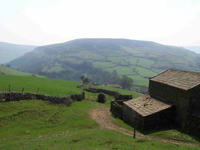
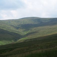
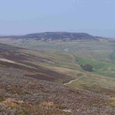
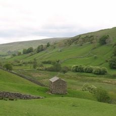
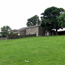
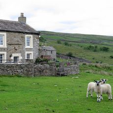
Kisdon is an isolated hill in Yorkshire Dales National Park that rises to 499 meters and stands distinctly apart from neighboring ridges. A plateau summit with several access points from surrounding villages makes this location a reachable walking destination.
The name Kisdon comes from Old Norse language and reflects settlement patterns left by Scandinavian peoples during medieval times. This linguistic trace shows the long presence of Nordic cultures in the Yorkshire Dales.
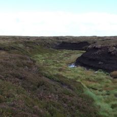
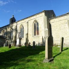
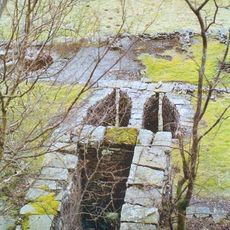
The Old Corpse Road crossing Kisdon served as a traditional path for transporting deceased individuals to consecrated burial grounds in neighboring parishes. Generations of people traveled this route for their most solemn journeys.
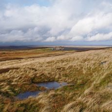
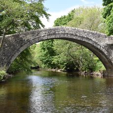
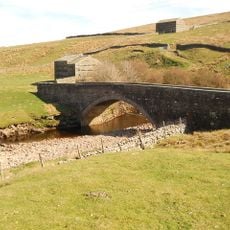
Several paths lead upward from the villages of Muker, Thwaite, and Keld, allowing walkers to choose their route based on preference. Most trails are well-defined and suitable for visitors with varying fitness levels.
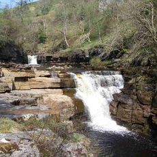
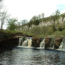
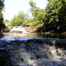
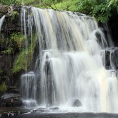
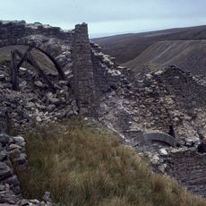
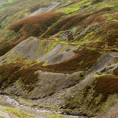
Glacial erosion shaped this landscape and redirected the River Swale to carve a deep gorge. This geological reshaping isolated Kisdon from neighboring ridges and created its distinctive standalone form.
GPS coordinates: 54.39407,-2.15739
Latest update: December 12, 2025 17:40
Tan Hill
6.9 km
Hardraw Force
8.8 km
Tan Hill Inn
6.8 km
Kisdon Force
1.1 km
Great Shunner Fell
5.6 km
Wain Wath Force
2.2 km
Catrake Force
1.6 km
East Gill Force
1.3 km
Lovely Seat
5.2 km
Church of Saint Mary
2.3 km
Arkengarthdale Gunnerside and Reeth Moors
6.4 km
Angram Bottoms
778 m
Church of Holy Trinity
8.9 km
Ravenseat Packhorse Bridge
5 km
Bridge Approximately 200 Metres East Of Firs Farmhouse
3.7 km
Lead mines, ore works and smeltmills at Old Gang on Reeth High Moor
7.4 km
Long Close Bridge
1.9 km
United Reform Church And Former Manse, With Railings
1.4 km
Scar House Bridge
1.9 km
Turnip House And Attached Byre
8.1 km
Ivelet Bridge
4 km
Bridge Approximately 30 Metres East Of Stone House
4.1 km
Beldi Hill Low Level lead mine and ore works
976 m
Keld War Memorial, North Yorkshire
1.2 km
Lawn House
8.7 km
Gunnerside Gill lead mines and ore works
4.2 km
Glory Be And Attached Outbuildings
8.2 km
Cantrells Barn
8.2 kmVisited this place? Tap the stars to rate it and share your experience / photos with the community! Try now! You can cancel it anytime.
Discover hidden gems everywhere you go!
From secret cafés to breathtaking viewpoints, skip the crowded tourist spots and find places that match your style. Our app makes it easy with voice search, smart filtering, route optimization, and insider tips from travelers worldwide. Download now for the complete mobile experience.
A unique approach to discovering new places❞
— Le Figaro
All the places worth exploring❞
— France Info
A tailor-made excursion in just a few clicks❞
— 20 Minutes