Great Shunner Fell, Mountain summit in Yorkshire Dales, England
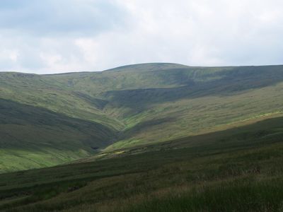
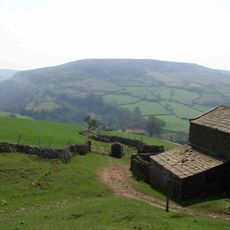
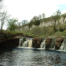
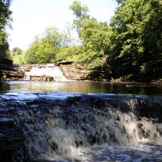
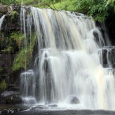
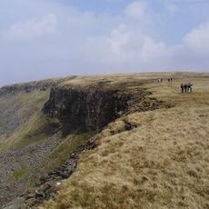
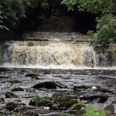
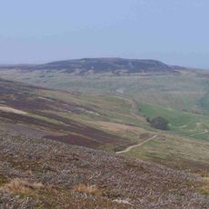
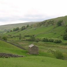
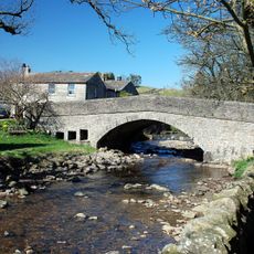
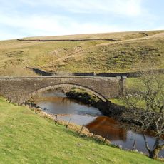
Great Shunner Fell is a mountain peak in the Yorkshire Dales that rises between Wensleydale and Swaledale valleys. The summit sits on open moorland with sweeping views across rolling hills and dale bottoms, accessible via stone-flagged paths that branch from several nearby towns.
Coal mining worked the slopes of this fell until the 1880s, when the railway arrival in nearby Hawes made bringing in outside coal cheaper and more practical. This shift marked the end of local mining and a transition in how the region connected to larger markets.
The Pennine Way long-distance walking path crosses directly over the summit, and you can see walkers from many regions passing through this high point. The fell is deeply embedded in the walking culture of northern England, where local hikers regularly use it as a training ground and part of multi-day journeys.
Multiple stone-paved paths reach the summit from different starting points, with the route from Hawes being the most straightforward option. The exposed hilltop can be windy and misty, so walkers should bring appropriate clothing and be ready for sudden weather changes.
A cross-shaped stone shelter with a triangulation pillar stands at the summit for protection against harsh winds at this exposed location. This small structure serves as a welcome refuge during bad weather and is a recognizable landmark for walkers crossing the fell.
The community of curious travelers
AroundUs brings together thousands of curated places, local tips, and hidden gems, enriched daily by 60,000 contributors worldwide.