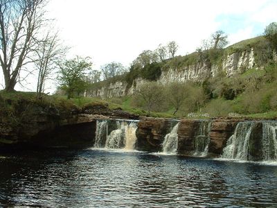
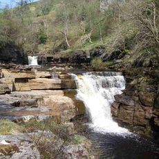
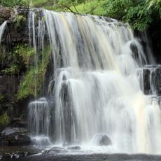
Wain Wath Force, Waterfall in Yorkshire Dales National Park, England.
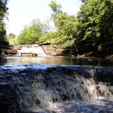
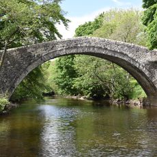
Wain Wath Force is a waterfall where the River Swale flows over limestone cliffs in Yorkshire Dales National Park. The water forms a deep pool below the drop, surrounded by grassy banks.
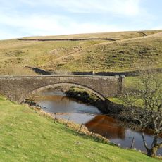
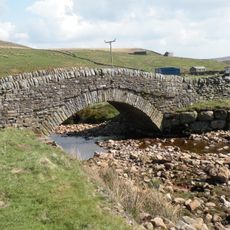
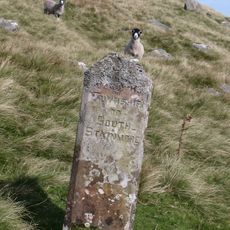
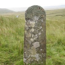
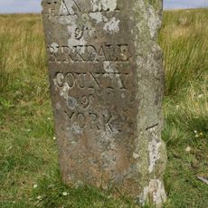
The waterfall takes its name from ancient crossing routes through this area, with 'wath' meaning ford and 'force' derived from Old Norse meaning waterfall. The naming shows that this river crossing has been important for centuries.
The name blends Anglo-Saxon and Old Norse language roots, reflecting centuries of settlement in this valley. Walking here, you can see how different cultures left their mark through the words people still use today.
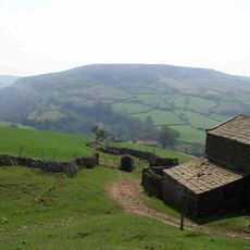
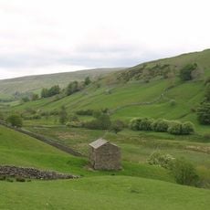
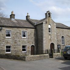
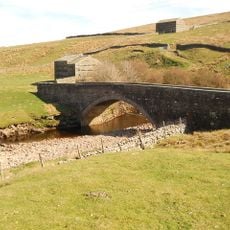
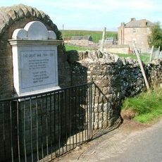
This spot is easy to reach and lies just upstream from a nearby village in the region. The banks are wide and flat enough to walk around safely, especially during warmer months.
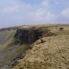
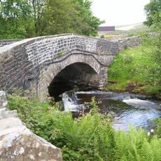
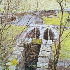
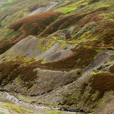
A long-distance hiking path runs right along the north bank, while an old road runs on the opposite side. These two routes show different ways people have used this valley over time.
Location: Muker
GPS coordinates: 54.40930,-2.18013
Latest update: December 13, 2025 11:44
Tan Hill
5.4 km
Nine Standards Rigg
7.7 km
Tan Hill Inn
5.3 km
Kisdon Force
1.6 km
Great Shunner Fell
5.5 km
Kisdon
2.2 km
Catrake Force
877 m
East Gill Force
1.3 km
High Seat
8.2 km
Lovely Seat
6.5 km
Church of Saint Mary
4.5 km
Arkengarthdale Gunnerside and Reeth Moors
7 km
Angram Bottoms
1.8 km
Bridge Over Cotterdale Beck
9.4 km
Bridge Approximately 200 Metres East Of Firs Farmhouse
2 km
Ravenseat Packhorse Bridge
2.8 km
Lead mines, ore works and smeltmills at Old Gang on Reeth High Moor
8.9 km
Scar House Bridge
3.8 km
Long Close Bridge
4 km
United Reform Church And Former Manse, With Railings
982 m
Beldi Hill Low Level lead mine and ore works
2.1 km
Bridge Approximately 30 Metres East Of Stone House
2.6 km
Boundary Stone On North Side Of Road To North West Of Gate House
7.2 km
Ivelet Bridge
6.2 km
Stone Approximately 75 Metres South Of North Yorkshire-Cumbria Boundary
7.6 km
Boundary Stone At Hollow Mill Cross
7.6 km
Keld War Memorial, North Yorkshire
1.1 km
Gunnerside Gill lead mines and ore works
5.4 kmVisited this place? Tap the stars to rate it and share your experience / photos with the community! Try now! You can cancel it anytime.
Discover hidden gems everywhere you go!
From secret cafés to breathtaking viewpoints, skip the crowded tourist spots and find places that match your style. Our app makes it easy with voice search, smart filtering, route optimization, and insider tips from travelers worldwide. Download now for the complete mobile experience.
A unique approach to discovering new places❞
— Le Figaro
All the places worth exploring❞
— France Info
A tailor-made excursion in just a few clicks❞
— 20 Minutes