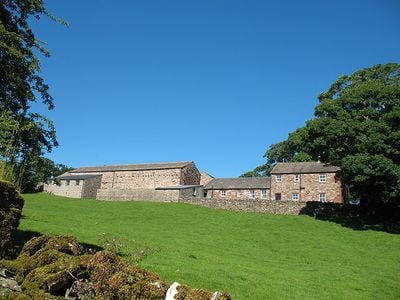
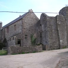
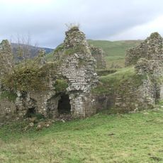
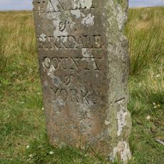
Hartley Castle, Medieval castle ruins in Hartley, England.
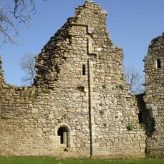
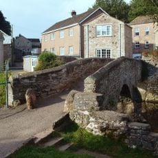
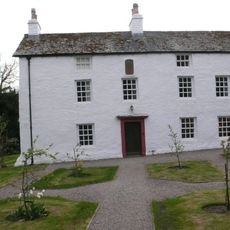
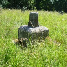
Hartley Castle is a ruined fortification in Cumbria with stone remains that include a vaulted cellar and earthworks nearby. The structure stands on private farmland beside an 18th-century farmhouse and still shows sections of stone walls and a staircase descending to the former kitchen cellar.
Thomas de Musgrave received permission in 1353 to fortify the manor house, transforming it into a defensive structure near the Scottish border. Centuries later, stones from the demolished castle were transported away and repurposed for repairs at other properties, showing how its materials were valued and reused.
The castle's layout featured an inner courtyard with outer spaces, a kitchen, chapel, and long gallery that reflected how medieval nobles lived and conducted daily activities. This arrangement was typical for fortified residences in the English borderlands during that period.
The site sits on private farmland, so access is restricted and requires permission from the owner beforehand. The ruins are largely exposed, so wearing sturdy footwear and being cautious around the stone remains is advisable.
A notable detail is that stones from the castle were transported to Edenhall rather than being reused locally for nearby repairs. This reveals how valuable building material was during the early modern period and how stone was moved considerable distances between projects.
The community of curious travelers
AroundUs brings together thousands of curated places, local tips, and hidden gems, enriched daily by 60,000 contributors worldwide.