High Storrs School
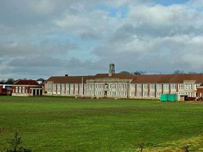
High Storrs School, Secondary school and Grade II listed building in Sheffield, England
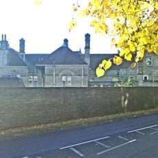
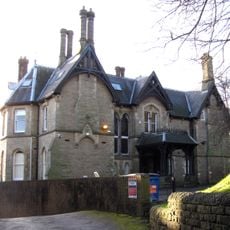
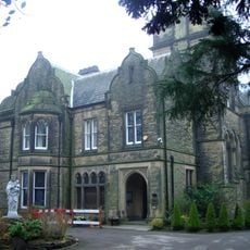
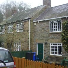
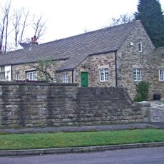
High Storrs School is a secondary institution housed in a building with early 20th-century architectural features, positioned on elevated ground overlooking southwestern Sheffield. The structure retains its historical design while modern learning spaces were added through comprehensive renovation work completed in 2011.
The school was founded in 1880 and initially operated in central Sheffield before relocating to its current site in 1933. It functioned as separate boys' and girls' schools until merging into a single institution in 1969.
The school takes a flexible approach to student dress, allowing personal choices within a structured framework rather than enforcing a traditional uniform. This philosophy shapes how students present themselves daily while maintaining school standards.
The campus sits on sloped terrain, so visitors should expect elevation changes when moving around the grounds. Reaching different areas involves walking between buildings across the elevated site.
The school organizes internal competitions through houses named after Sheffield theaters: Crucible, Lyceum, Merlin, and Montgomery. This naming choice links daily school life directly to the city's local cultural landmarks.
Location: Sheffield
Inception: 1933
Address: High Storrs School, High Storrs Road, Sheffield, South Yorkshire, S11 7LH
Phone: +441142670000
Email: enquiries@highstorrs.sheffield.sch.uk
Website: http://highstorrs.co.uk
GPS coordinates: 53.35760,-1.52240
Latest update: December 8, 2025 19:53
Christ Church
1.6 km
Shepherd Wheel
788 m
Stumperlowe Hall
1.6 km
Parkhead Hall
1.4 km
Riverdale House
1.3 km
Mylnhurst
1.1 km
Whiteley Wood Hall
1.2 km
All Saints Church, Ecclesall
697 m
Banner Cross Hall
904 m
Chelsea Park
1.4 km
Forge Dam Park
1.4 km
Banner Cross Methodist Church
956 m
Fulwood Old Chapel
1.7 km
Monument To Thomas Boulsover On North Side Of Wire Mill Dam
998 m
Ecclesall War Memorial
705 m
Bents Green House And Attached Boundary Wall
723 m
Storth Oaks And Adjoining Stable Range And Gateway
1.5 km
War Memorial and Railing at Junction with Canterbury Avenue
1.5 km
Stumperlowe Grange Stumperlowe House
1.5 km
Lodge To Riverdale House
1.4 km
Jubilee Obelisk At South West End Of Park
1.4 km
The Guildhall
1.4 km
8, Whiteley Lane
1.7 km
Stocks At Fulwood Old Chapel
1.7 km
Milestone, Ringinglow Road, outside No. 153
169 m
Milestone, Ringinglow Road, opp entrance to Castle Dyke
1.3 km
Ivy Cottages
952 m
Stumperlowe Cottage
1.6 kmVisited this place? Tap the stars to rate it and share your experience / photos with the community! Try now! You can cancel it anytime.
Discover hidden gems everywhere you go!
From secret cafés to breathtaking viewpoints, skip the crowded tourist spots and find places that match your style. Our app makes it easy with voice search, smart filtering, route optimization, and insider tips from travelers worldwide. Download now for the complete mobile experience.
A unique approach to discovering new places❞
— Le Figaro
All the places worth exploring❞
— France Info
A tailor-made excursion in just a few clicks❞
— 20 Minutes