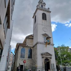
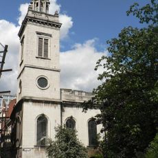
Holy Trinity the Less, Medieval church building in Knightrider Street, City of London, England
Holy Trinity the Less was a medieval church located at the intersection of Knightrider Street in the City of London, featuring typical architectural details of ecclesiastical buildings from that era. The structure included various elements common to London's religious architecture before the Great Fire of 1666.
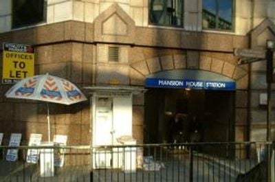
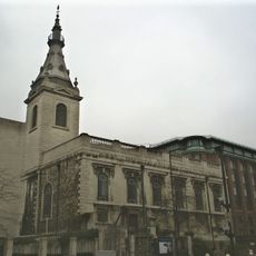
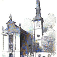
The church was first documented in 1266 and remained at its location for centuries until the Great Fire of 1666 destroyed it completely. A Lutheran church rose on the site in 1673 and operated until demolition for Mansion House station in 1871.
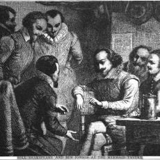
Trade guilds like the Merchant Taylors and Vintners invested money in supporting this church, showing how closely business and religion were linked in medieval London. These connections shaped the way the city's commercial districts developed and functioned.
The site is easily accessible by public transportation, as Mansion House station is located nearby where the building once stood. Visitors should note that no structure remains to see, but the surrounding area offers insight into how medieval City of London streets were organized.
The church changed hands among different institutions over the centuries, moving from the control of St. Mary Overie to the Crown and finally to Canterbury Cathedral. This shifting ownership reveals how religious institutions in London were subject to changing authority and patronage.
The community of curious travelers
AroundUs brings together thousands of curated places, local tips, and hidden gems, enriched daily by 60,000 contributors worldwide.