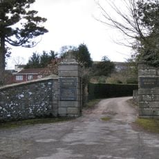
Seale-Hayne College, Agricultural college in Newton Abbot, England.
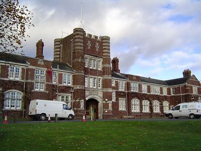
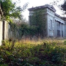
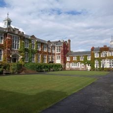
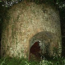
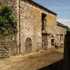
Seale-Hayne College is a former agricultural college in Newton Abbot, Devon, built around a Grade II Listed Quadrangle that anchors the layout of the campus. Twelve further buildings are spread across the grounds, originally designed for teaching, research and administration related to farming and land management.
The college was founded in 1919 following the will of Charles Seale Hayne, a Liberal politician and Devon landowner who left his estate for the purpose of agricultural education. It remained in operation for close to nine decades before closing in 2005.
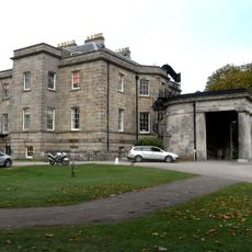
The listed Quadrangle at the heart of the campus gives the place a collegiate feel that visitors often find surprising for an agricultural school. The surrounding buildings, arranged around this central courtyard, still reflect the original ambition to give farming education the same seriousness as any other profession.
Parts of the former campus are now used as private office and business space, so it is worth checking in advance which areas can be visited freely. The listed Quadrangle is the main draw for anyone interested in the architecture, and it can be seen from outside without going into restricted zones.
Unlike most agricultural colleges in Britain, Seale-Hayne was designed and built from the ground up specifically for farming education, rather than adapting an existing house or estate. Before the college officially opened, the site was used during the First World War to house soldiers recovering from shell shock, which was an early term for what is now called post-traumatic stress.
The community of curious travelers
AroundUs brings together thousands of curated places, local tips, and hidden gems, enriched daily by 60,000 contributors worldwide.