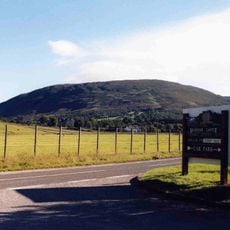
Cairn of Claise, Mountain summit in Aberdeenshire, Scotland
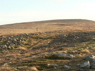
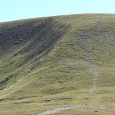
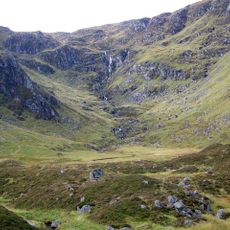
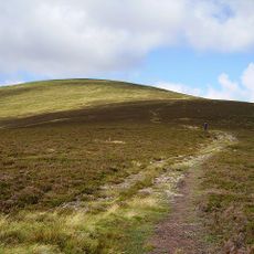
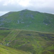
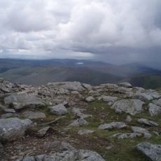
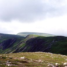
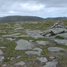
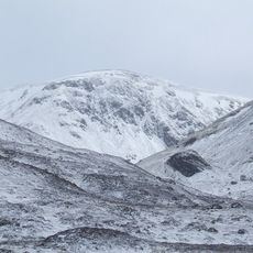
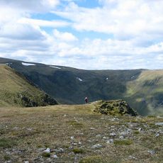
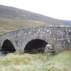
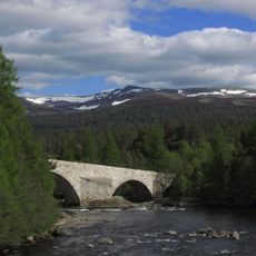
Cairn of Claise is a mountain summit in Aberdeenshire that rises to 1064 meters (3491 feet) above sea level, with a broad plateau on its eastern side near the Cairnwell Pass. The landscape here is open and rolling, offering views across the surrounding Highland region.
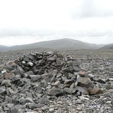
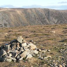
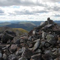
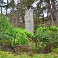
The stone cairn at the summit marks a historical boundary line between former Scottish counties and served for generations as a geographical reference point. This boundary marker shows how important this location was as a landmark in Highland geography.
The mountain's name comes from Scottish Gaelic, meaning 'Hill of the Hollows', reflecting the linguistic heritage of the Highlands. Visitors walking here today experience this connection to the region's language and traditions.
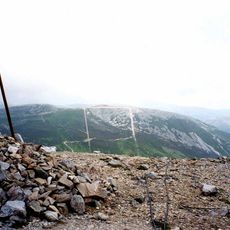
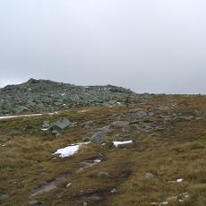
Several hiking routes lead to the summit, some starting from Glen Isla by way of Monega Hill or connecting with neighboring peaks such as Tolmount and Tom Buidhe. The plateau offers good walking conditions with open terrain and relatively clear paths, particularly on the eastern side.
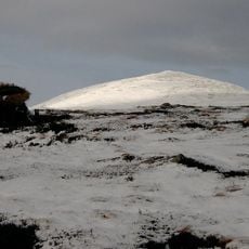
Located near Glenshee Ski Center, this mountain combines natural elevation markers with established walking paths across its eastern plateau. Proximity to a well-known ski resort makes it a versatile destination for different seasons and activities.
The community of curious travelers
AroundUs brings together thousands of curated places, local tips, and hidden gems, enriched daily by 60,000 contributors worldwide.