Derventio Brigantum, Roman archaeological site in Malton, North Yorkshire, England
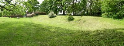
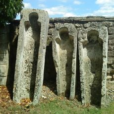
Derventio Brigantum is a Roman fort and civilian settlement buried beneath the modern town of Malton in North Yorkshire, England, along the River Derwent. Excavations at Orchard Fields have uncovered timber and stone structures along with a wide range of objects that shed light on daily life at this site.
The fort was founded around 70 AD under Roman general Agricola, first built with timber before being rebuilt in stone during the 2nd century. Over time, a civilian settlement grew up around the fort, making it both a military post and a working community.
Near the center of modern Malton, excavations show that craftspeople made jewelry, metalwork, and everyday goods for both soldiers and civilians living side by side. This mix of military and civilian life was common along Roman frontier settlements, and you can trace it through the objects found here.
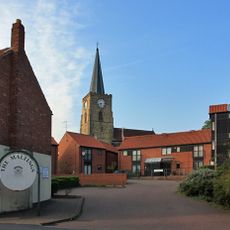
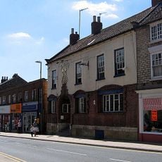
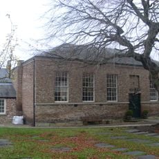
The site itself lies beneath modern Malton, but you can visit the excavated remains at Orchard Fields near the town center. Artifacts from the settlement are also on display at the Malton Museum, which gives a good sense of what was found here.
An inscription found at the site mentions a goldsmith workshop, which is rare for a frontier settlement far from the main Roman centers. Goldsmiths were usually found in large cities, so their presence here suggests this was a more connected and active place than it might appear.
The community of curious travelers
AroundUs brings together thousands of curated places, local tips, and hidden gems, enriched daily by 60,000 contributors worldwide.