
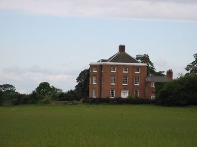
High Hatton Hall, architectural structure in Stanton upon Hine Heath, Shropshire, England, UK
Location: Stanton upon Hine Heath
GPS coordinates: 52.81990,-2.58516
Latest update: March 7, 2025 07:13

Hawkstone Park
5.3 km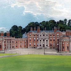
Hawkstone Hall
5.7 km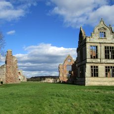
Moreton Corbet Castle
4.8 km
Hodnet Hall
3.5 km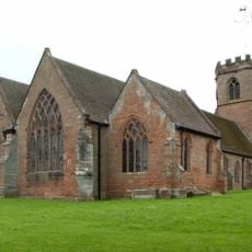
St Luke's Church, Hodnet
3.8 km
Bury Walls
4 km
Peplow Hall
3.2 km
Wollerton Old Hall Garden
5 km
All Hallows, Rowton
5.1 km
Church of St Michael
5.9 km
Church of St. John the Baptist
5.4 km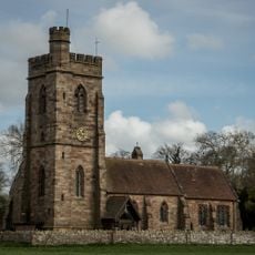
Church of St Peter
4.4 km
Church of St Bartholomew
4.8 km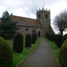
Church of St Andrew
4 km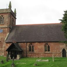
Church of St Luke
5.7 km
Moated site 140m east of St Mary's Church
5.9 km
Rowland Hill Monument
5.2 km
Red Castle
5.7 km
22, Marchamley
4.8 km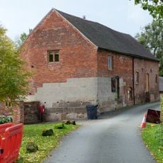
Moreton Mill
3.9 km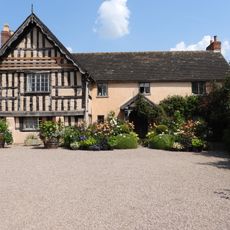
Wollerton Old Hall
5 km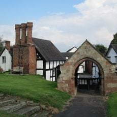
Lychgate approximately 35 metres to east of Church of St Luke
3.8 km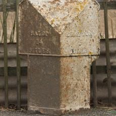
Milepost Approximately 15 Metres To South West Of Stone Stone House
5 km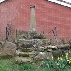
Sundial Approximately 60 Metres To North East Of Church Of Saint Andrew
3.9 km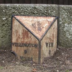
Milepost Approximately 10 Metres To West Of Shawbury Bridge
5.8 km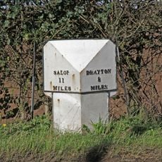
Mile Post Approximately 18 Metres South East Of Lodgebank
1.4 km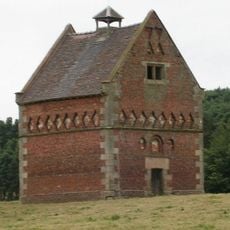
Hodnet Hall Dovecote
3.3 km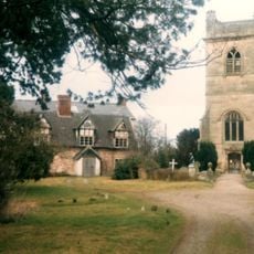
The Old Rectory
4.8 kmReviews
Visited this place? Tap the stars to rate it and share your experience / photos with the community! Try now! You can cancel it anytime.
Discover hidden gems everywhere you go!
From secret cafés to breathtaking viewpoints, skip the crowded tourist spots and find places that match your style. Our app makes it easy with voice search, smart filtering, route optimization, and insider tips from travelers worldwide. Download now for the complete mobile experience.

A unique approach to discovering new places❞
— Le Figaro
All the places worth exploring❞
— France Info
A tailor-made excursion in just a few clicks❞
— 20 Minutes