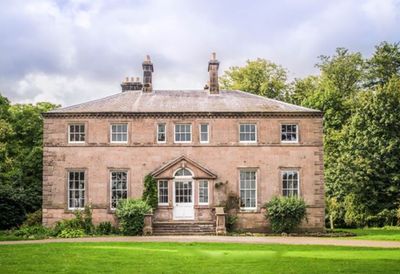
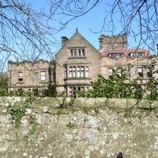
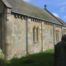
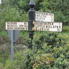
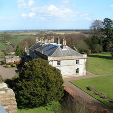
Charlton Hall, Grade II* listed English country house in Eglingham, Great Britain
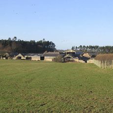
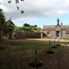
Charlton Hall is a country house in Eglingham defined by red brick walls, terracotta details, and stone decorative features. The property stands on extensive grounds that include Grade II listed stable blocks and accommodation buildings scattered across the land.
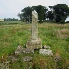
The site where this house stands evolved from a 14th-century pele tower into the building completed in 1719. William Newton made substantial changes to it in 1796, shaping much of the structure we see today.
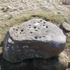
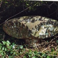
The Spur of the Charlton, a 16th-century artifact displayed on the property, connects this house to the region's past practices and local traditions. The object serves as a tangible link to how people once used this land and the customs that shaped the area.
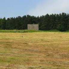
The property offers accommodation in shepherd huts scattered across the grounds, providing a different kind of stay experience. Visitors should allow time to explore the stable buildings and wider land, as the estate covers a considerable area.
Landscape architect Capability Brown designed the grounds in 1776, bringing his personal style to the property's layout and natural features. His influence can be seen in how the trees and open spaces are arranged across the land.
Location: Eglingham
GPS coordinates: 55.49480,-1.71827
Latest update: December 13, 2025 12:23
Preston Tower
3.1 km
Embleton Tower
5.1 km
Rock Hall
3 km
Ellingham Hall, Northumberland
3.6 km
Church of the Holy Trinity, Embleton
5.2 km
Church of St James
2.6 km
Church of St Maurice
3.3 km
Church of Saints Philip and James
3.2 km
Doxford Farmhouse
907 m
Village Pump
5.2 km
Waiting Shed And Up Platform At Chathill Station
4.7 km
Milepost Circa 200 Yards South Of Newstead Road End
5 km
Signpost At Road Junction South Of Rock Farm
3.4 km
Cup and ring marked rocks on Wandylaw Moor, 1km west of Wandylaw
4.9 km
Heiferlaw Tower
4.7 km
North Charlton medieval village and open field system
952 m
Milepost 100 Metres South Of Newtonbarns
5.1 km
Preston Tower (New)
3.1 km
South Lodge And Gateway To Preston Tower
3.1 km
Chathill Station And Down Platform
4.7 km
Signal Box At Chathill Station
4.7 km
Cross On North Side Of B6347 120 Metres West Of A1 Junction
1.2 km
Former Goods Shed On East Of Railway Immediately North Of B 1340
3.5 km
Milepost 420 Metres North Of Track To Heckley Fence
4.7 km
Mile Post 700 Metres North Of Prickly Bridge
3.6 km
Milepost, South Charlton Bog, Ellsnook Plantation
3.1 km
Milepost, North Charlton, just before dual carriageway, north of Shipperton Bridge
901 m
Milepost, Brownieside
2 kmVisited this place? Tap the stars to rate it and share your experience / photos with the community! Try now! You can cancel it anytime.
Discover hidden gems everywhere you go!
From secret cafés to breathtaking viewpoints, skip the crowded tourist spots and find places that match your style. Our app makes it easy with voice search, smart filtering, route optimization, and insider tips from travelers worldwide. Download now for the complete mobile experience.
A unique approach to discovering new places❞
— Le Figaro
All the places worth exploring❞
— France Info
A tailor-made excursion in just a few clicks❞
— 20 Minutes