
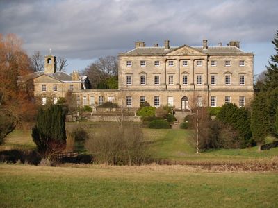
Howick Hall West Wing, architectural structure in Longhoughton, Northumberland, England, UK
Location: Longhoughton
Part of: Howick Hall
GPS coordinates: 55.45100,-1.61035
Latest update: March 3, 2025 18:56
Dunstanburgh Castle
4.3 km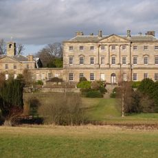
Howick Hall
240 m
Howick house
1.4 km
Craster Tower
2.1 km
Embleton Tower
5.2 km
The Observatory
3.7 km
Church of St Michael and All Angels
170 m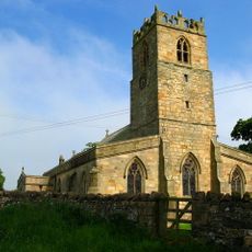
Church of the Holy Trinity, Embleton
5.2 km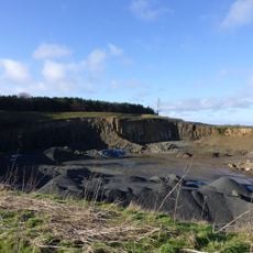
Longhoughton Quarry
2.8 km
Church of Saints Peter and Paul
2.5 km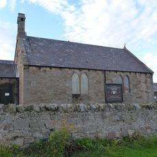
St Peter the Fisherman
2.5 km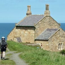
The Bathing House
1.4 km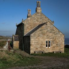
Outbuilding South West Of The Bathing House
1.4 km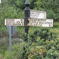
Signpost At Road Junction South Of Rock Farm
5 km
Defended settlement, 600m south east of Red Stead
1.5 km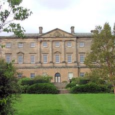
Howick Hall Centre Block And Link Galleries
67 m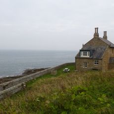
Wall And Steps To East Of The Bathing House
1.4 km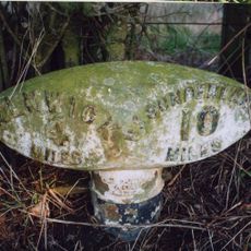
Mile Post 400 Metres South Of Renington South East Farm
3.5 km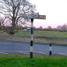
Signpost At Juntion With Station Road
2.6 km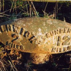
Milepost 380 Metres North Of Denwick Bridge End
4.8 km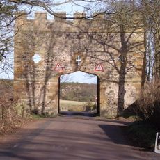
Gateway Spanning Road To North Of Craster Tower
2.2 km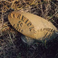
Milepost 300 Metres North Of Denwick Lane End
3.8 km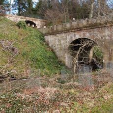
Road Bridge And Footbridge 320 Metres South East Of Howick Hall
394 m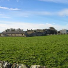
Garden Wall To West Of Boulmer Hall
3.5 km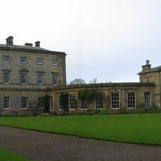
Stableyard Buildings At East End Of Howick Hall
89 m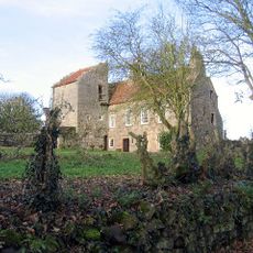
Dunstan Hall
2.6 km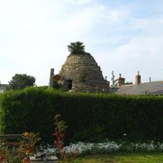
Dovecote at rear of Number 4
5 km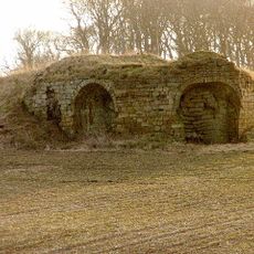
Old Limekiln At Harlaw Hill Waste Disposal Site
3.4 kmReviews
Visited this place? Tap the stars to rate it and share your experience / photos with the community! Try now! You can cancel it anytime.
Discover hidden gems everywhere you go!
From secret cafés to breathtaking viewpoints, skip the crowded tourist spots and find places that match your style. Our app makes it easy with voice search, smart filtering, route optimization, and insider tips from travelers worldwide. Download now for the complete mobile experience.

A unique approach to discovering new places❞
— Le Figaro
All the places worth exploring❞
— France Info
A tailor-made excursion in just a few clicks❞
— 20 Minutes