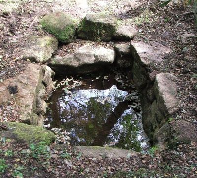
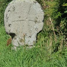
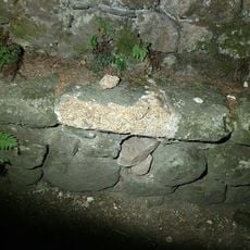
Holy well called Madron Well, Medieval holy well in Madron, Cornwall, England.
Madron Well is a medieval holy well in Madron, Cornwall, and consists of a rectangular stone-lined shaft that holds water in a natural setting. The structure sits northwest of the village surrounded by vegetation and remains largely unchanged from its original form.
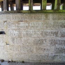
The well dates to the 12th century and served as the primary water source for surrounding communities until the 18th century. Its importance to local life led to its protection and preservation as a scheduled monument.
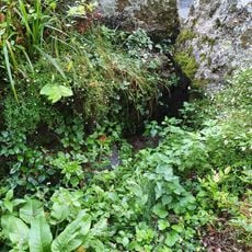
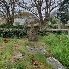
Visitors tie cloth strips to bushes surrounding the well, continuing an ancient practice of leaving offerings at this sacred site. This tradition reflects how people still connect spiritual meaning to the location today.
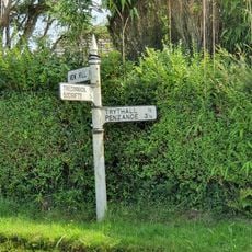
The site is accessible through marked paths and remains open to visitors, though sturdy footwear is recommended due to uneven terrain around the well. The location sits in a vegetated area, so waterproof jackets and protective clothing help with comfort during visits.
Records from the 17th century document accounts of physical healing attributed to the waters at this site, drawing people from nearby areas. These historical reports reveal how long visitors have sought out this location for its reputed properties.
The community of curious travelers
AroundUs brings together thousands of curated places, local tips, and hidden gems, enriched daily by 60,000 contributors worldwide.