Chest opened
+${chestReward.xp} XP
Explorer
NOUVEAU ×${chestReward.collectible.quantity}
tapez pour fermer

See the monuments around you in AR Open chests in the app

Around Us is built for your phone — point your camera at the streets and discover the monuments and places around you in augmented reality. Around Us is built for your phone — chests unlock when you walk, explore and capture nearby places.

Enable Location

We need your location to show you interesting places around you

Discover nearby places

Find interesting locations and hidden gems around you

Precise directions

Get accurate directions and distances to places

Your location is never shared with other users. It's only used when you tap the location button.

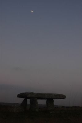
Lanyon Quoit

Log in to your account

Start exploring — it's free

Trusted by 85,557 travelers worldwide

Continue with Google
Continue with Apple
or

We will send you a code to connect

By continuing, you accept our Terms and Conditions and our Privacy Policy

Check your inbox

We've sent a pincode in your inbox. Please enter the code below.

Discussion Reviews 2 Photos
8.7k Popularity

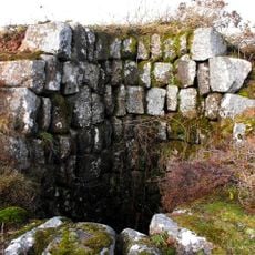
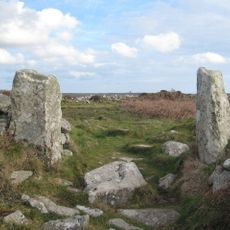
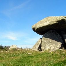
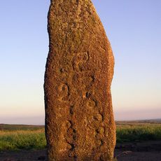
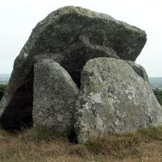
Lanyon Quoit, Neolithic dolmen in Madron, England

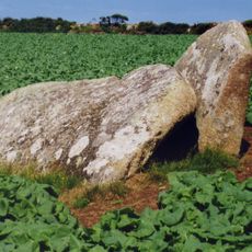
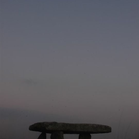
Lanyon Quoit is a Neolithic granite dolmen near Madron, Cornwall, made of three upright stones topped by a broad flat capstone. It stands at the northern end of a long burial mound, and traces of additional burial stones can still be seen toward the southern end.

The monument was first built around 5,000 years ago as a Neolithic burial site. A severe storm brought it down in 1815, and it was reassembled in 1824 using only three of what had originally been four upright stones.

The name 'Lanyon' likely comes from a Cornish word meaning pool or lake, even though the surrounding land today appears dry. The flat capstone sits low over the ground after the reconstruction, giving the monument a very different presence than it once had.

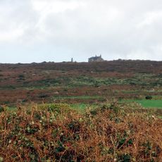
The site is in open countryside and reachable on foot from a nearby lane without a long walk. The ground can get muddy after rain, and the exposed setting means wind is often noticeable, so sturdy footwear is a good idea.

Before the 1815 collapse, the stones stood high enough for a person on horseback to ride beneath the capstone without ducking. The 1824 rebuilding set the uprights shorter into the ground, so that original height was never recovered.

The community of curious travelers

AroundUs brings together thousands of curated places, local tips, and hidden gems, enriched daily by 60,000 contributors worldwide.
Start exploring
Location
GPS coordinates
50.14736,-5.59906
Latest update
September 5, 2026 12:55
Around this place
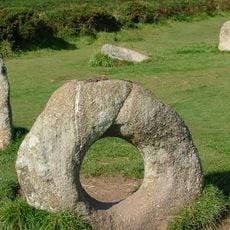
Mên-an-Tol
United Kingdom

Mên-an-Tol

0.8 mi
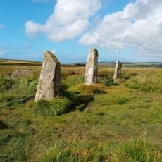
Boskednan stone circle
United Kingdom

Boskednan stone circle

0.9 mi
Trengwainton Garden
United Kingdom

Trengwainton Garden

1.7 mi
Ding Dong mines
United Kingdom

Ding Dong mines

1 mi
Chûn Castle
United Kingdom

Chûn Castle

1.5 mi
Chûn Quoit
United Kingdom

Chûn Quoit

1.7 mi
Mên Scryfa
United Kingdom

Mên Scryfa

1 mi
Mulfra Quoit
United Kingdom

Mulfra Quoit

1.7 mi
Bosiliack Barrow
United Kingdom

Bosiliack Barrow

0.3 mi
West Lanyon Quoit
United Kingdom

West Lanyon Quoit

0.4 mi
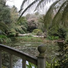
Tanglewood Wild Garden
United Kingdom

Tanglewood Wild Garden

1.6 mi
Newmill Bridge
United Kingdom

Newmill Bridge

1.7 mi
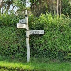
Guide Post At Sw 451341
United Kingdom

Guide Post At Sw 451341

1.3 mi
Trengwainton House
United Kingdom

Trengwainton House

1.7 mi
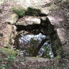
Holy well called Madron Well
United Kingdom

Holy well called Madron Well

1.1 mi
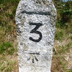
Milestone At Sw 41682 34555, 110M North-East Of Bosullow
United Kingdom

Milestone At Sw 41682 34555, 110M North-East Of Bosullow

1 mi
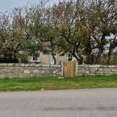
Lanyon Farmhouse, Front Garden Walls, Cartshed And Mounting Block
United Kingdom

Lanyon Farmhouse, Front Garden Walls, Cartshed And Mounting Block

0.3 mi
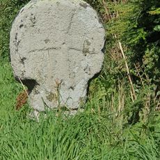
Boswarthen Cross
United Kingdom

Boswarthen Cross

1.2 mi
Wayside cross at Tregwainton Carn
United Kingdom

Wayside cross at Tregwainton Carn

1.1 mi
United Kingdom

Hut circles with associated field system 400yds SW of Little Higher Bosullow

0.9 mi
Madron Chapel
United Kingdom

Madron Chapel

1.2 mi
United Kingdom

Courtyard house and stone hut circle settlement 430m south west of Bosporthennis Farm Cottage

1.5 mi
Milestone Approximately 98M E Of Carthew Cottages
United Kingdom

Milestone Approximately 98M E Of Carthew Cottages

1.3 mi
Guide Post At Sw407318
United Kingdom

Guide Post At Sw407318

1.8 mi
Guidepost Approximately 350M North-West Of Bosullow Cottage
United Kingdom

Guidepost Approximately 350M North-West Of Bosullow Cottage

1.2 mi
United Kingdom

Stone hut circle settlements, courtyard house settlement, enclosures and part of a field system at Boswarva Carn

0.3 mi
United Kingdom

Bosporthennis Sacred Well

1.7 mi
United Kingdom

Scenic viewpoint

1.7 mi
Show the full map
Reviews
Share your experience

No review yet

Discussions
Start a discussion...

No discussion yet

« Lanyon Quoit - Neolithic dolmen in Madron, England » is provided by Around Us (aroundus.com). Images and texts are derived from Wikimedia project under a Creative Commons license. You are allowed to copy, distribute, and modify copies of this page, under the conditions set by the license, as long as this note is clearly visible.

Discover hidden gems everywhere you go!

From secret cafés to breathtaking viewpoints, skip the crowded tourist spots and find places that match your style. Our app makes it easy with voice search, smart filtering, route optimization, and insider tips from travelers worldwide. Download now for the complete mobile experience.

Around Us App Screenshot

A unique approach to discovering new places

Le Figaro

All the places worth exploring

France Info

A tailor-made excursion in just a few clicks

20 Minutes

Around Us
Travel Guide & Maps
Download

Send to your phone

QR Code
1

Open the camera app on your mobile.

2

Point at the QR code with your camera. A notification will appear.

3

Tap the notification to open the link.