
Hadrian's Wall and vallum from East Town House, Heddon-on-the-Wall to the A69 trunk road in wall mile 12
Hadrian's Wall and vallum from East Town House, Heddon-on-the-Wall to the A69 trunk road in wall mile 12, archaeological site in Heddon-on-the-Wall, Northumberland, England, UK
Location: Heddon-on-the-Wall
Part of: Hadrian's Wall, borders of the Roman Empire
GPS coordinates: 54.99860,-1.80172
Latest update: April 16, 2025 04:50

Close House
1.3 km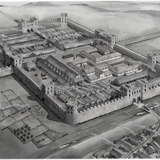
Vindobala
1.6 km
George Stephenson's Birthplace
2.2 km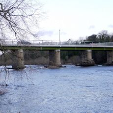
Wylam Bridge
2.8 km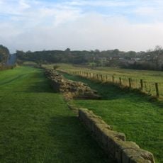
Milecastle 12
787 m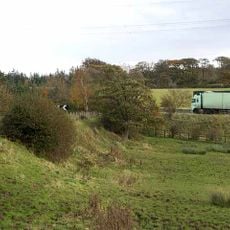
Milecastle 13
712 m
Milecastle 11
2.2 km
Milecastle 14
2.1 km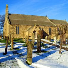
Church of St Andrew
650 m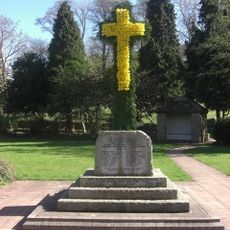
Heddon-on-the-Wall Memorial Cross with memorial park walls and gate piers
600 m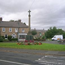
Wylam War Memorial
2.7 km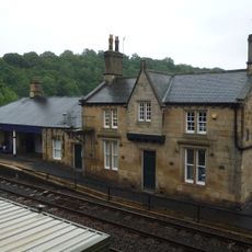
Wylam Station And Station-master's House
2.8 km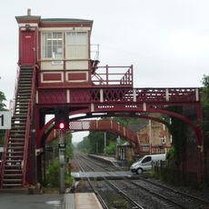
Wylam signal box
2.8 km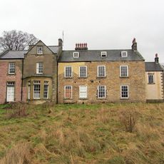
Oakwood House
2 km
Close House
1.3 km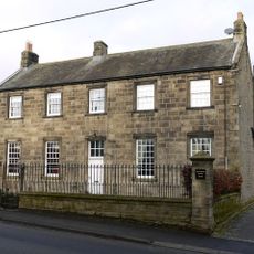
Old Schoolhouse
352 m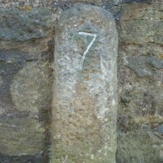
Milestone, Military Road, Heddon (cut off section of road?)
755 m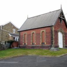
Valve House West Of Junction With Coach Road
2.5 km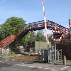
Footbridge at Wylam railway station
2.8 km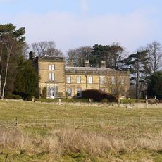
Holeyn Hall
2.1 km
Former Valve House
2.4 km
Byre And Shelter Sheds North Of East Heddon
1.5 km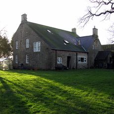
West Heddon Farmhouse
1.6 km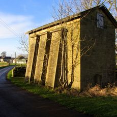
Water Tower Approx 200 Yards East Of Heddon Steads
1.7 km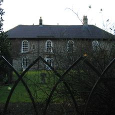
Rudchester
1.5 km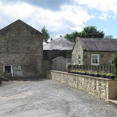
Farmbuildings And Gingang Attached To East Of Heddon Banks Farmhouse
730 m
Milepost, Hexham Road
1.1 km
Milestone, Hadrian's Wall, E of Rudchester
870 mReviews
Visited this place? Tap the stars to rate it and share your experience / photos with the community! Try now! You can cancel it anytime.
Discover hidden gems everywhere you go!
From secret cafés to breathtaking viewpoints, skip the crowded tourist spots and find places that match your style. Our app makes it easy with voice search, smart filtering, route optimization, and insider tips from travelers worldwide. Download now for the complete mobile experience.

A unique approach to discovering new places❞
— Le Figaro
All the places worth exploring❞
— France Info
A tailor-made excursion in just a few clicks❞
— 20 Minutes