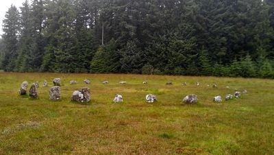
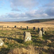
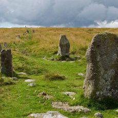
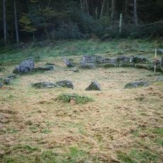
Fernworthy Circle, Stone circle in Dartmoor Forest, England.
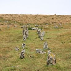
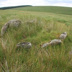
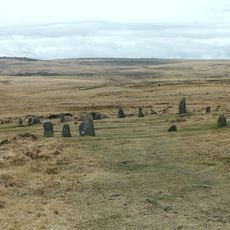
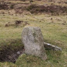
Fernworthy Circle is a Bronze Age stone ring made up of 27 granite boulders laid out on Dartmoor in a slightly flattened arrangement. The stones stand roughly 3.5 feet (1 meter) tall and form a circle about 65 feet (20 meters) wide, with a clear entrance on the southern side marked by specially positioned stones.
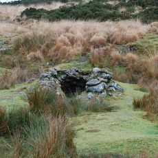
This stone circle was built during the Bronze Age when similar ritual sites dotted the Dartmoor landscape. Excavation work in the 1890s uncovered charred wood deposits, suggesting fires were once central to activities at this location.
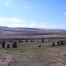
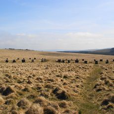
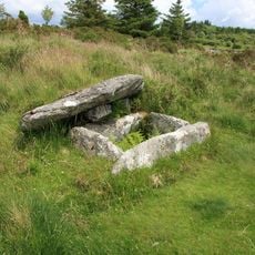
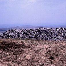
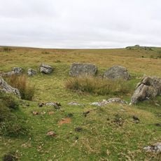
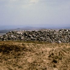
This circle was an important gathering place for Bronze Age communities, serving roles that likely combined spiritual and social functions. The nearby stone rows and burial mounds suggest the site held lasting significance for the people who lived in this landscape.
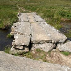
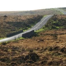
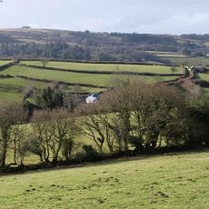
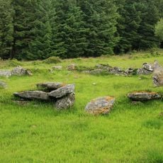
The circle sits within a forested plantation and is accessible via walking paths from nearby roads. Wear sturdy shoes as the ground can be uneven and muddy, especially after rain, and the surrounding forest trails can be slippery.
The entrance is marked by two smaller stones wedged between larger blocks, showing deliberate positioning rather than random placement. This specific arrangement is uncommon among similar circles and suggests the entrance held ceremonial importance.
The community of curious travelers
AroundUs brings together thousands of curated places, local tips, and hidden gems, enriched daily by 60,000 contributors worldwide.