City of Derby, Administrative district in Derbyshire, England
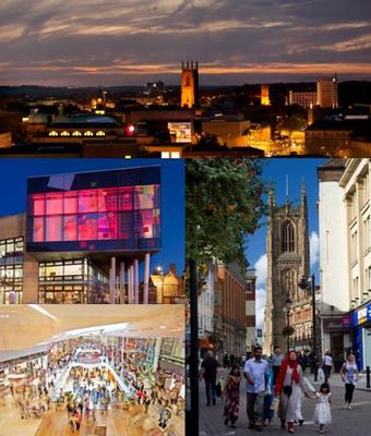
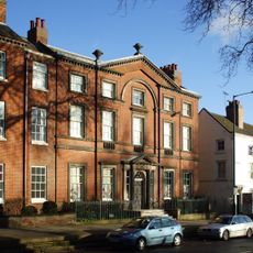
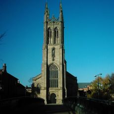
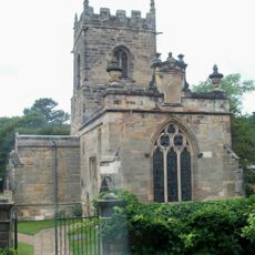
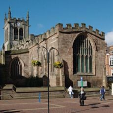
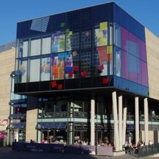
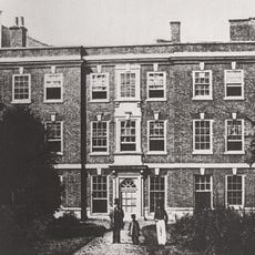
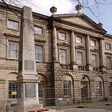
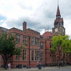
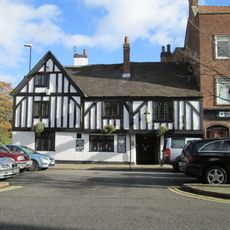
Derby, also known as the City of Derby, is a unitary authority and city in Derbyshire, England, sitting along the River Derwent in the east Midlands. The city center mixes older buildings with newer ones and is organized around a main shopping area, several squares, and the river corridor.
The settlement was founded by Danish Vikings in the 9th century under the name Deoraby, making it one of the five Danish boroughs of the East Midlands. It grew steadily through the medieval period and became a center for the textile and later the railway and engineering industries.
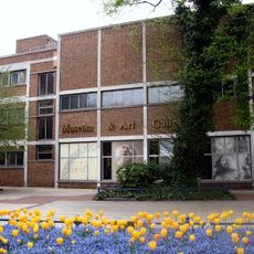
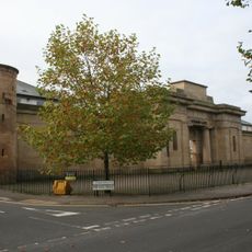
The Derby Museum and Art Gallery holds a notable collection of Royal Crown Derby porcelain, made in the city itself and recognized for its detailed painted patterns. Visiting the gallery gives a clear sense of how this craft tradition shaped the way people here saw their own city.
The city center is compact and easy to walk around, with most points of interest reachable on foot from the train station. For outer neighborhoods, local bus routes cover the area well and stop frequently.
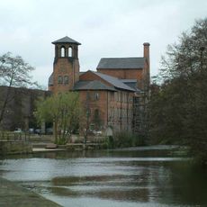
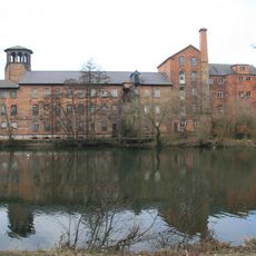
Derby was the site of the first silk mill of its kind in Britain, built in 1717, and is considered one of the birthplaces of the Industrial Revolution. The original mill building still stands today as part of the Derwent Valley Mills World Heritage Site.
The community of curious travelers
AroundUs brings together thousands of curated places, local tips, and hidden gems, enriched daily by 60,000 contributors worldwide.