Derbyshire

Log in to your account

AroundUs is a community-driven map of interesting places, built by curious explorers like you. It grows with every review, story, and photo you share.
Connect to save your favorite spots, contribute locations, and create personalized routes.
Continue with Google
Continue with Apple
Continue with X
Continue with Facebook
Continue with email
By continuing, you accept our Terms and Conditions and our Privacy Policy
Create an account
Add to collection
Map
Suggest a change
Share

Derbyshire, Ceremonial county in East Midlands, England

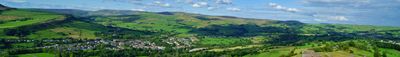
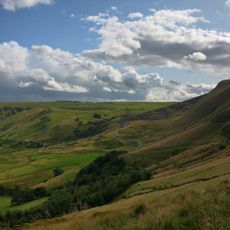
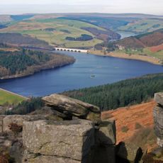
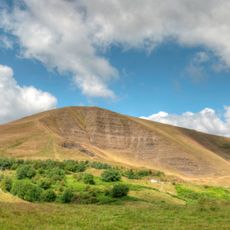
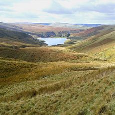
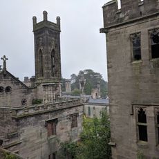
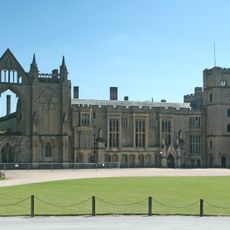
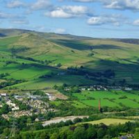
Derbyshire is a ceremonial county in the East Midlands of central England, stretching from moorland in the northern Peak District down to the river lowlands along the Trent. The landscape shows limestone hills to the south, dark moorland in the north, and several river valleys winding through the terrain.

Romans built forts and settlements here in the first century, drawn by the rich lead deposits in the hills. Later, the county became a center for textile manufacturing before coal mining shaped the eastern villages and towns during the nineteenth century.

Across this part of England you can still see drystone walls dividing the hills, built by hand over generations and now used by walkers as landmarks. In the market towns, traders hold regular weekly markets where local produce like cheese and bread is sold.

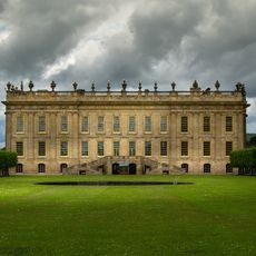
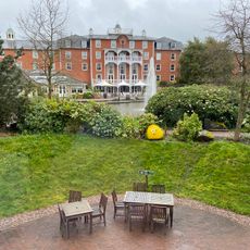
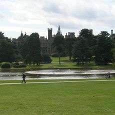
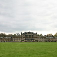
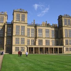
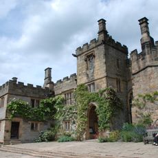
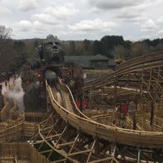
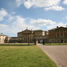
The Peak District National Park, covering much of the county, offers marked trails for walking and cycling, with visitor centers providing maps and advice. Market towns and historic estates are spread throughout and can be reached by car or public transport.

Two plant species found here exist nowhere else on Earth, making the area important for botanical research. You can see these rare plants at protected sites that conservationists visit regularly.

Location: East Midlands

Capital city: Matlock

Shares border with: West Yorkshire, Cheshire, Staffordshire, Nottinghamshire, Leicestershire, Greater Manchester, South Yorkshire

Website: https://derbyshire.gov.uk

GPS coordinates: 53.18000,-1.61000

Latest update: December 15, 2025 08:46

Photos
Reviews

Visited this place? Tap the stars to rate it and share your experience / photos with the community! Try now! You can cancel it anytime.

Administrative divisions
« Derbyshire - Ceremonial county in East Midlands, England » is provided by Around Us (aroundus.com). Images and texts are derived from Wikimedia project under a Creative Commons license. You are allowed to copy, distribute, and modify copies of this page, under the conditions set by the license, as long as this note is clearly visible.

Discover hidden gems everywhere you go!

From secret cafés to breathtaking viewpoints, skip the crowded tourist spots and find places that match your style. Our app makes it easy with voice search, smart filtering, route optimization, and insider tips from travelers worldwide. Download now for the complete mobile experience.

Around Us App Screenshot

A unique approach to discovering new places

Le Figaro

All the places worth exploring

France Info

A tailor-made excursion in just a few clicks

20 Minutes