
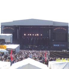
National Bowl
3.6 km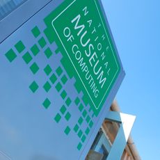
The National Museum of Computing
4.5 km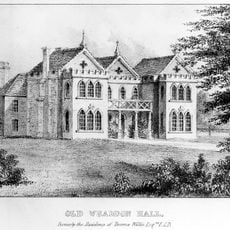
Whaddon Hall
1.2 km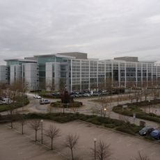
Quadrant:MK
4.2 km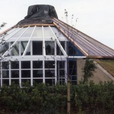
Energy World
2.9 km
Oxley Woods
624 m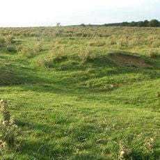
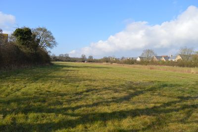
Snelshall Priory
431 m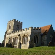
All Saints Church, Loughton
3.6 km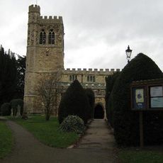
St. Mary's Church, Bletchley
4.5 km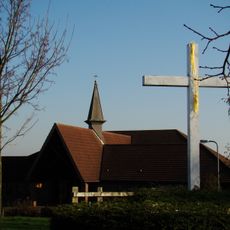
Church of the Servant King, Furzton
2.6 km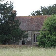
St Giles's Church, Tattenhoe
1.3 km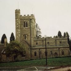
St. Mary's Church, Shenley
2.3 km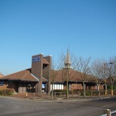
Church of the Holy Cross, Two Mile Ash
3.7 km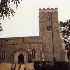
Church of St Mary
1.5 km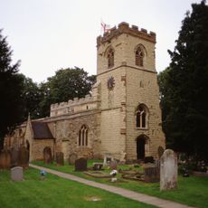
Church of St Faith, Newton Longville
4.4 km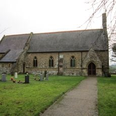
Church of All Saints
3.8 km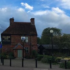
The Talbot Inn
2.8 km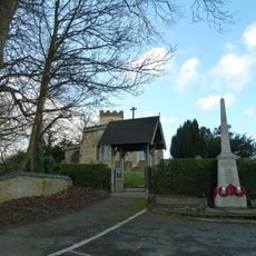
Newton Longville War Memorial
4.5 km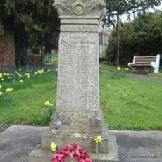
Shenley War Memorial
2.3 km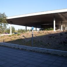
Former Bus Station, Station Square, Milton Keynes
4.1 km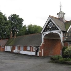
The Bungalow And Attached Wall To E And Stable Range To East And Stable Range To South
4.5 km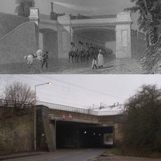
Denbigh Hall Railway Bridge
4.5 km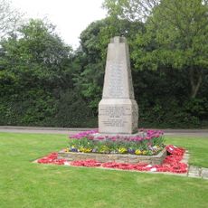
Old Bletchley War Memorial
4.5 km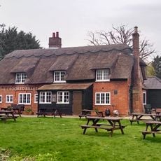
The Crooked Billet
4.1 km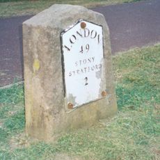
Milestone, Watling Street; on brow of hill in open area, Two Mile Ash
3.5 km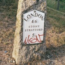
Milestone, Watling Street; 100m W of roundabout with Standing Way, W of Redmoor
3.9 km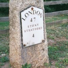
Milestone, Watling Street; Shenley Lodge, at jct with Kelvin Drive, N of Chaffron Way roundabout
3 km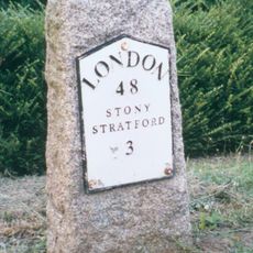
Milestone, Watling Street; at jct with Old Bell Lane, N of Shenley Church End
2.8 kmReviews
Visited this place? Tap the stars to rate it and share your experience / photos with the community! Try now! You can cancel it anytime.
Discover hidden gems everywhere you go!
From secret cafés to breathtaking viewpoints, skip the crowded tourist spots and find places that match your style. Our app makes it easy with voice search, smart filtering, route optimization, and insider tips from travelers worldwide. Download now for the complete mobile experience.

A unique approach to discovering new places❞
— Le Figaro
All the places worth exploring❞
— France Info
A tailor-made excursion in just a few clicks❞
— 20 Minutes